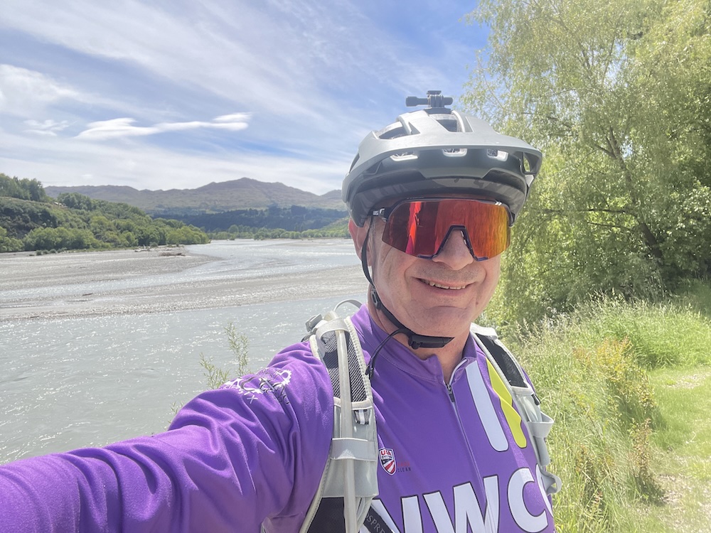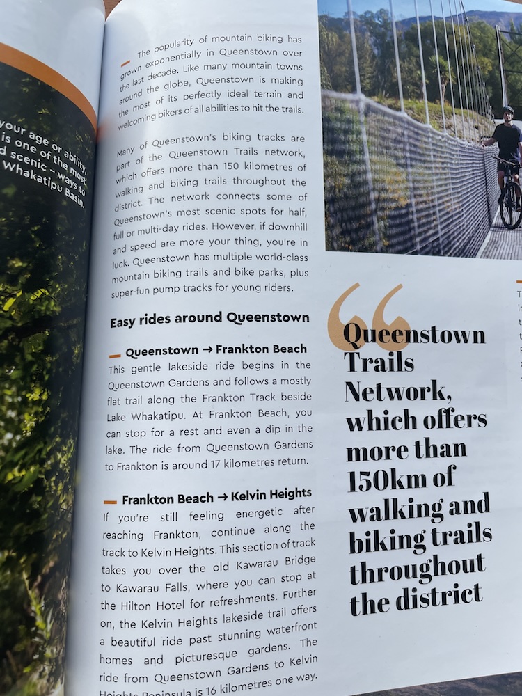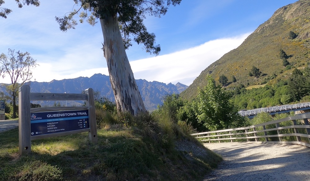
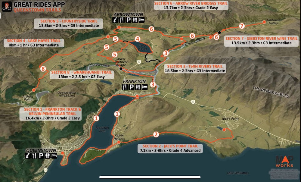
Today is my first ride in the Queenstown area, it’s Tuesday and I decided to string a few of the trail sections together to form a longer ride. There is a good iPhone app called Great Rides NZ that allows you to take the content offline in case there is no cell service out on the ride. See https://www.greatridesapp.com/ for the details. Here is the map that the app shows when you ask about the Queenstown Trails…
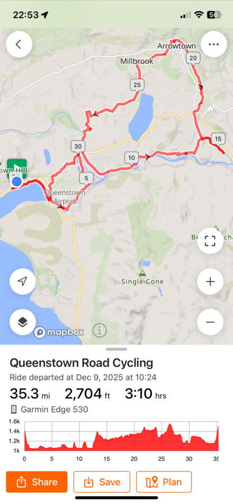
I rode the first part of section 1 until it intersected with 3, then I rode section 3 and section 6 (until a scary bridge – more on that later), the rode section 6 back to Arrowtown, had lunch then rode section 5, to section 3 to section 1 and home. The actual route was captured on Ride with GPS as:
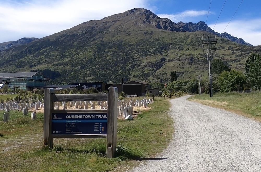
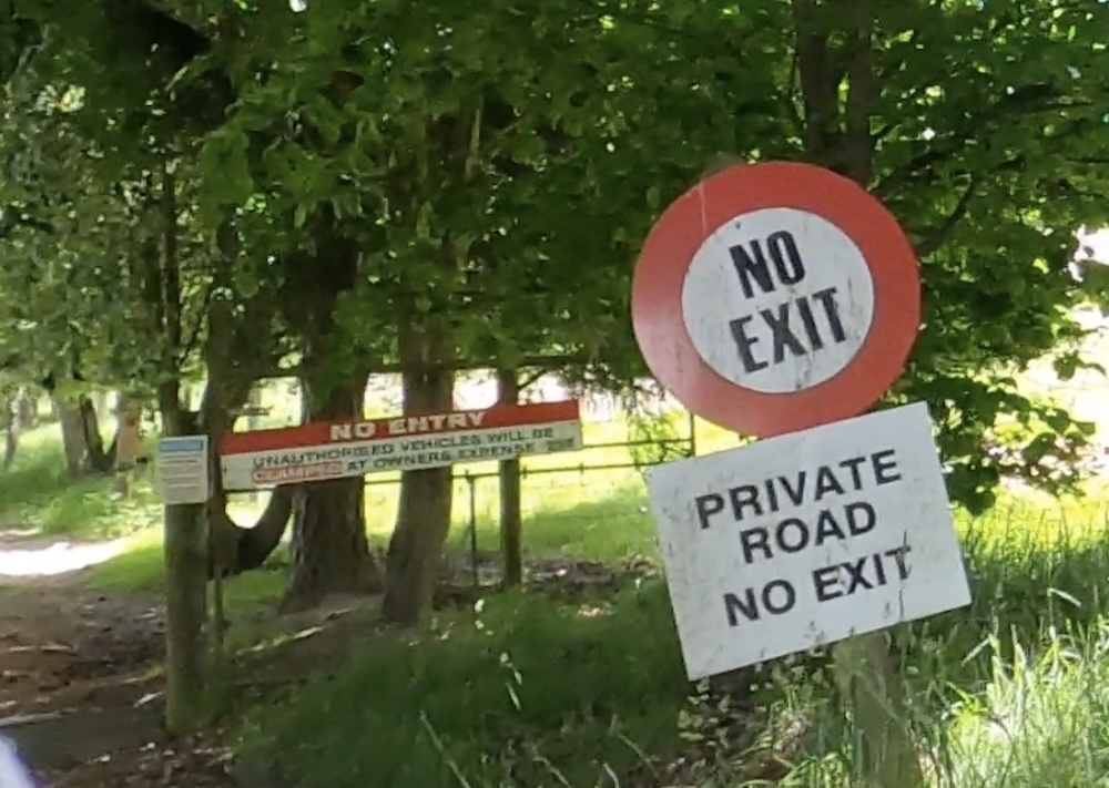
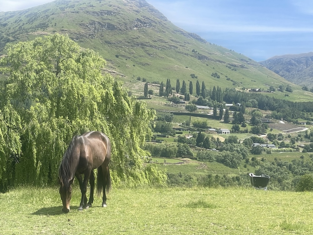
The first part of the ride is relatively flat with good gravel, not many potholes either. I was following the Ride with GPS directions and they were accurate when the GPS unit figured out exactly where it was! There were times when the GPS position was off slightly, causing Ride with GPS to give a wrong audible course message. The first time this occurred on the ride it sent me down a long gravel road instead of taking the left fork and staying on the gravel trail. A hundred meters later when I saw all the houses and the dead end of the road I knew I had to turn around. On the way back up an old lady pushing a walking frame gave me a stern look and said in a gruff voice “WHEN YOU SEE A SIGN – READ IT!!”. I clearly was not the first “tourist” coming down her driveway, hence her stern warning. It turns out that these trails go through and down the side of many private properties so its good advice to stay on the trail. The trail markers are generally more accurate than the GPS which sometimes loses itself for a minute.
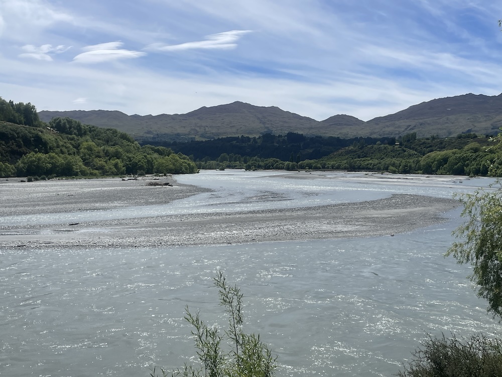
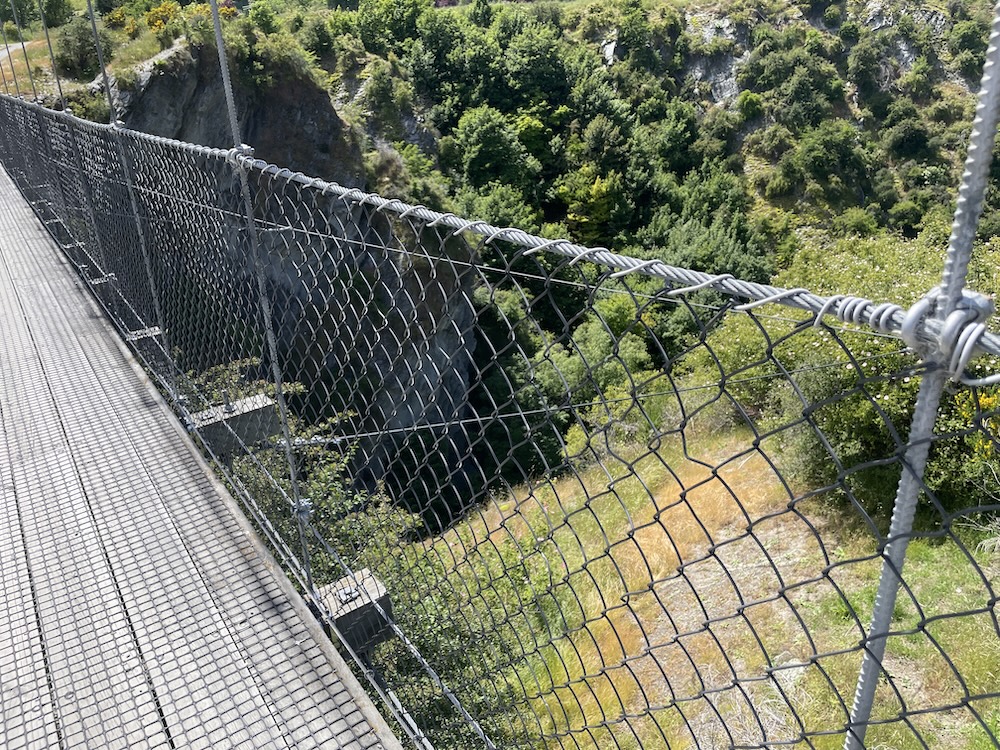
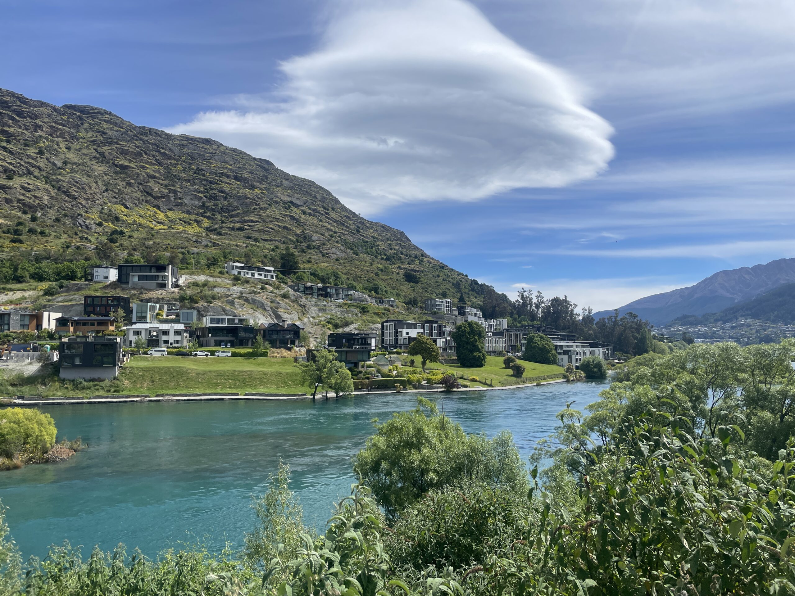
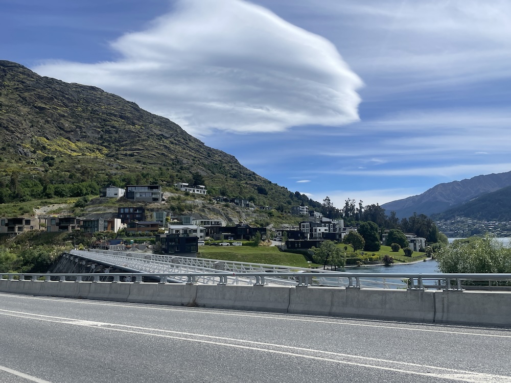
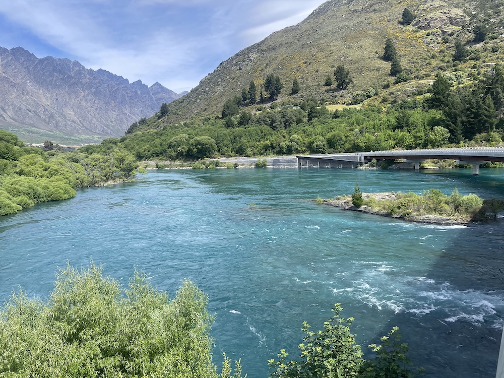
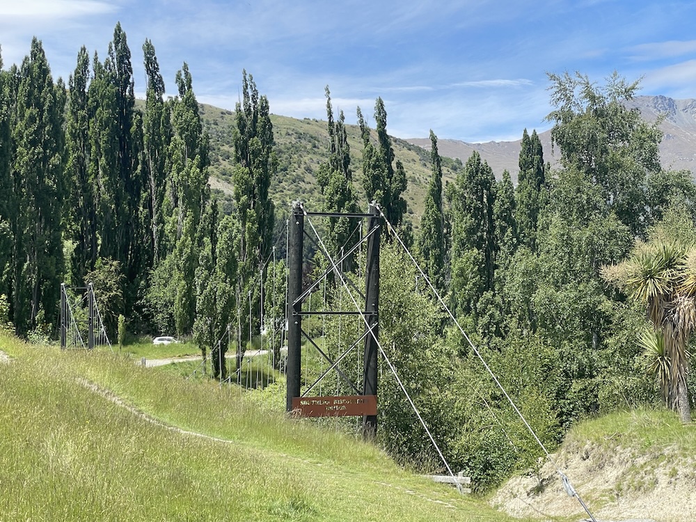
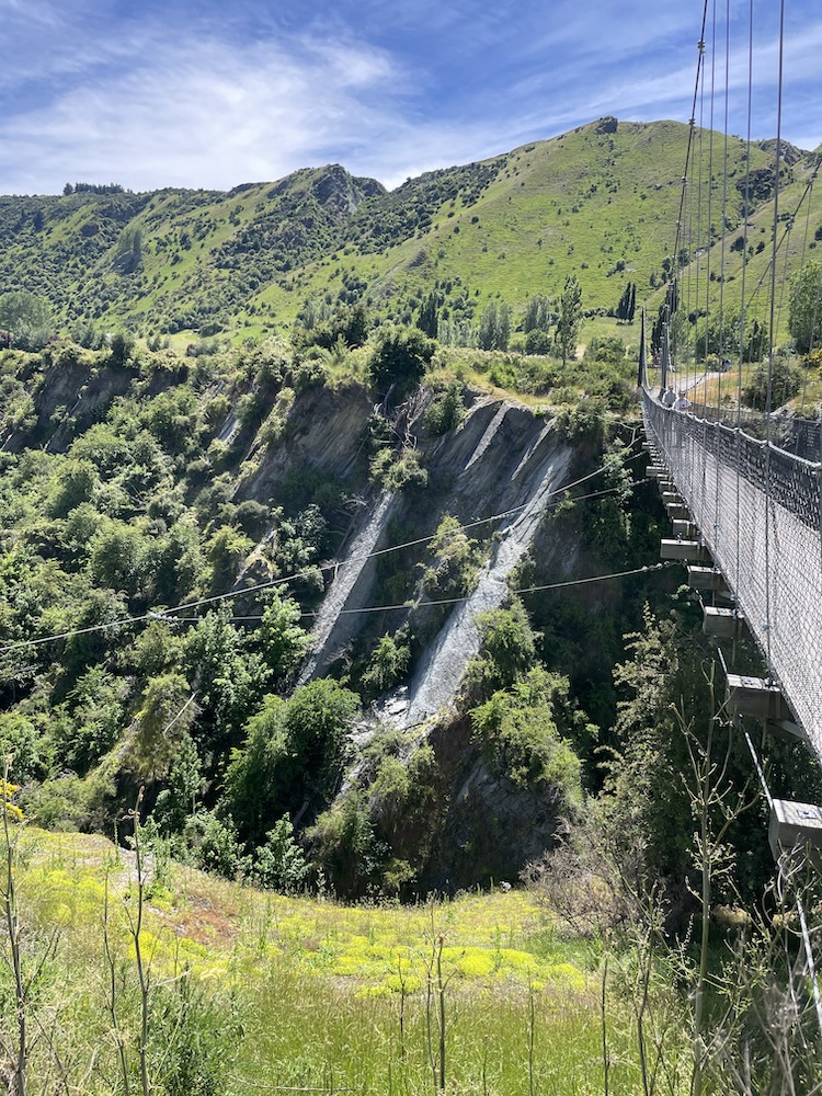
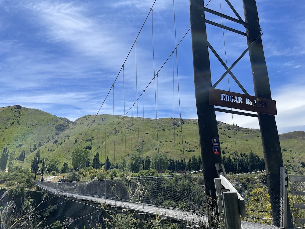
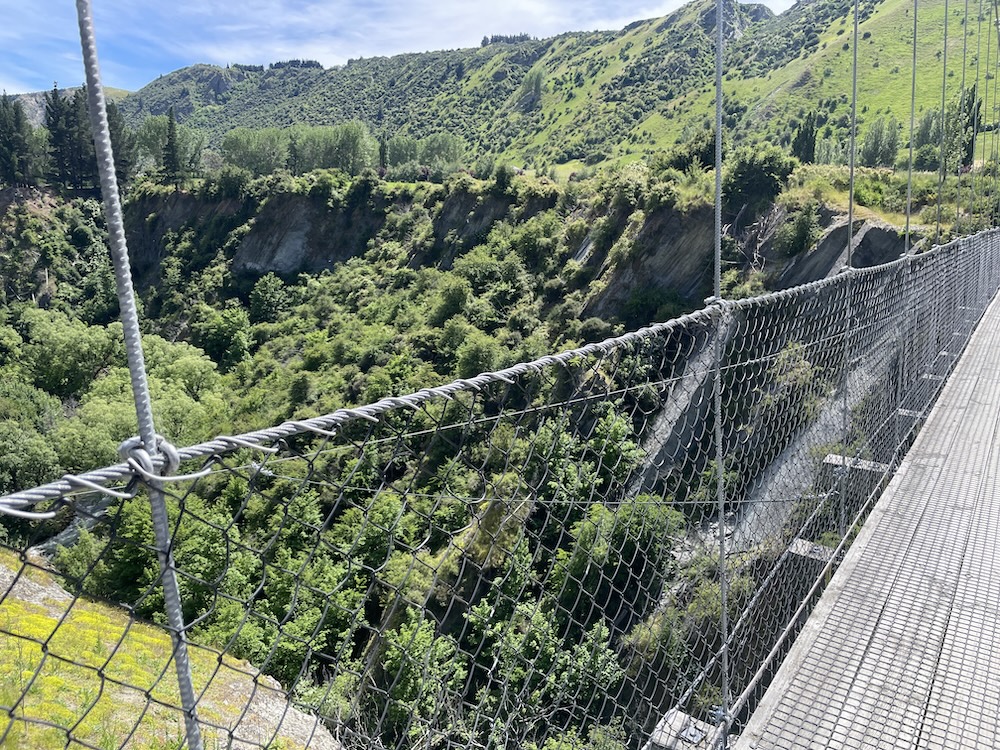
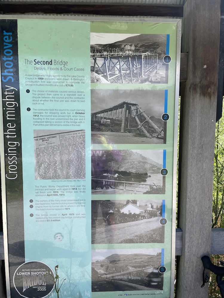
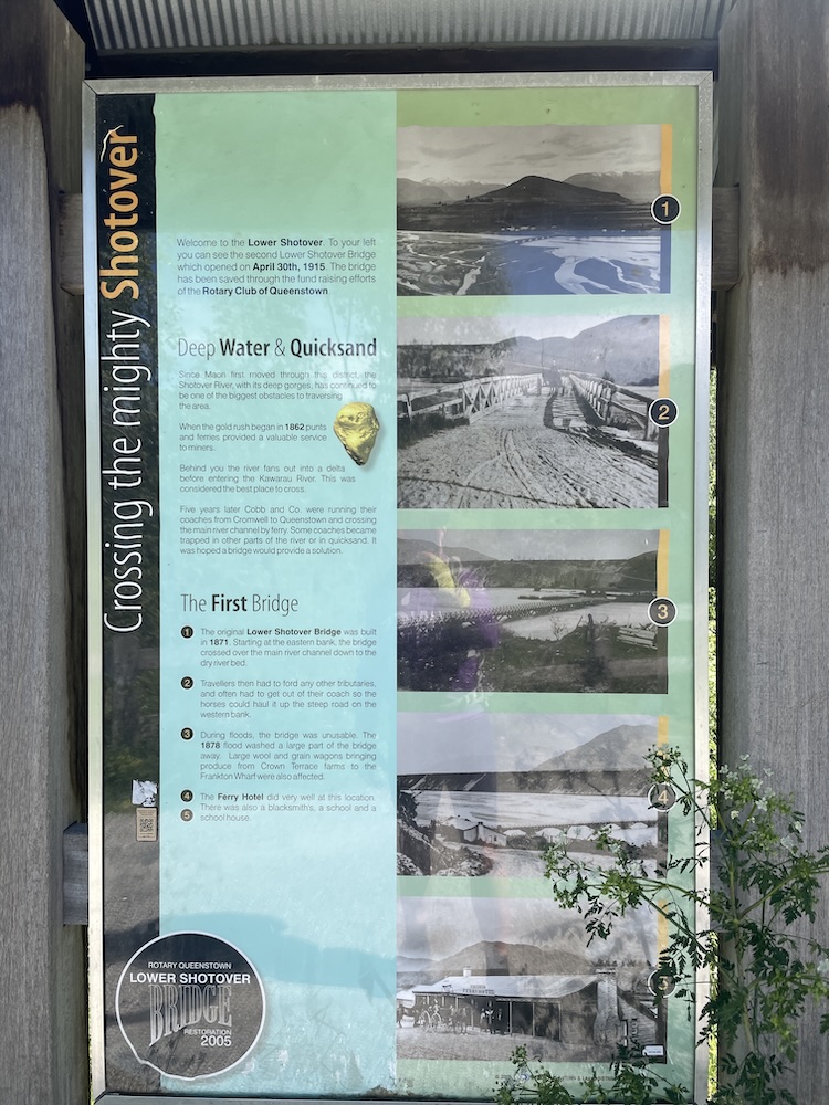
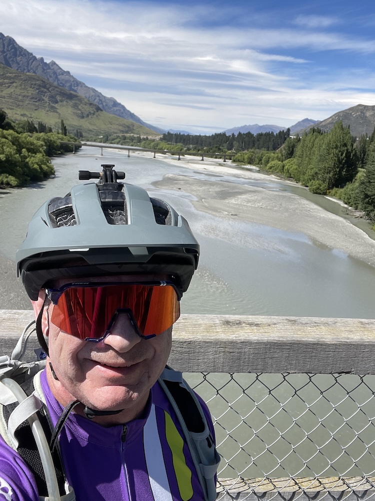
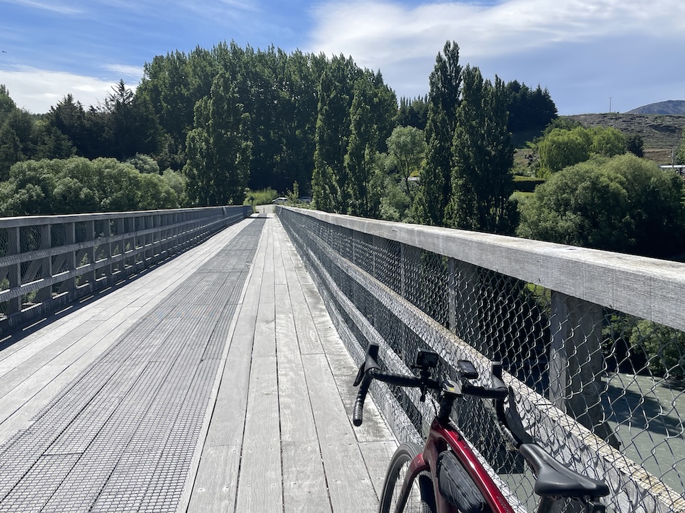
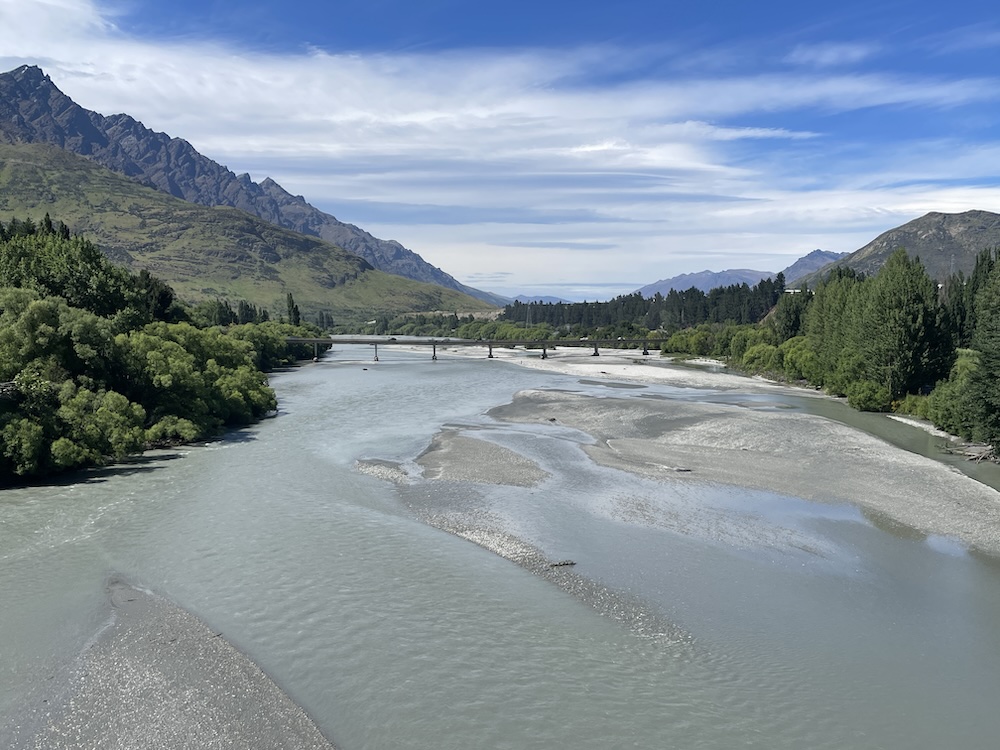
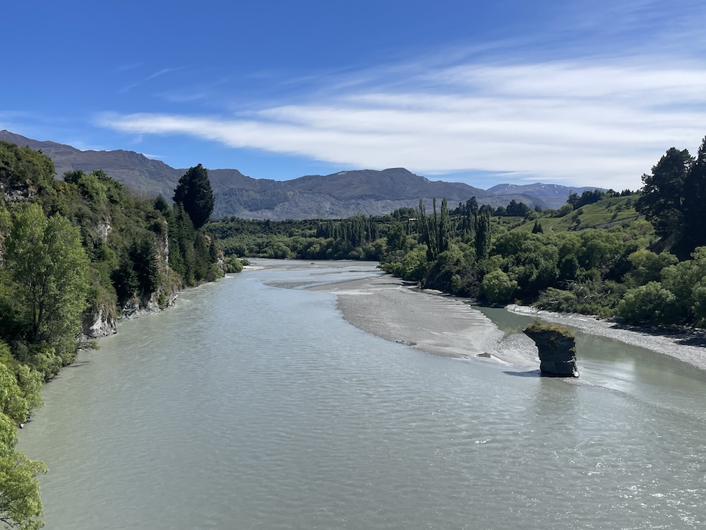
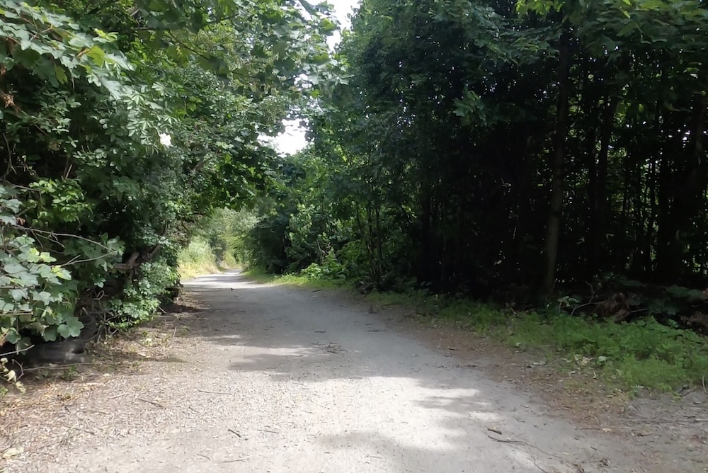
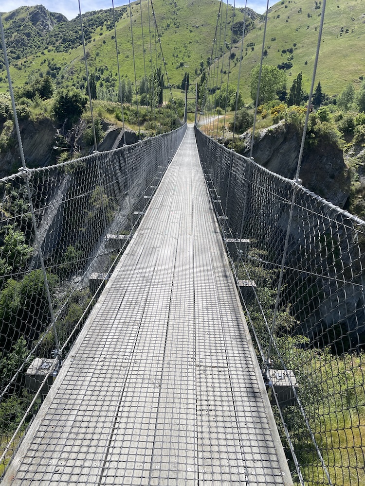
Section 1 crosses the Shotover river (above) which is used by the jet boats to give tourists a thrill ride, and as you join section 3 it follows the Kawarau river and its a scenic journey through shade trees and has a flowing MTB trail feel to it. Generally flat untii you approach the last part of section 3 then you start the climb. The river is at 1000 ft above sea level and you climb 400 ft before turning onto section 6. Then starts the gradual climb, and 15 miles into the ride you meet a scary bridge. New Zealand has many of these wire and wood suspension bridges, most being single track so you may have to wait to cross. They are normally limited to 20 people on the bridge at a time, and do move with your weight and in the higher wind gusts. When approaching from below you don’t see the wires at first and it looks like someone has suspended planks of wood across a chasm, as if by magic… there are no sides! When you reach the entrance to the bridge and take your first steps it’s a bit unnerving that the chain link fence sides let you see all the way down, that and the fact the the bridge is wide enough for 1 bike makes you feel a bit like a tight-rope walker! So my first time… I watched people cross in perfect safety, a few commenting that they were “concerned” then I reasoned with myself… I don’t think I have time to cross and ride all the way to Gibbston Wineries and that I “should” turn back and proceed to the historic town of Arrowtown for lunch. Yes, I was glad I had options this day as that bridge crossing looked scary 🙂
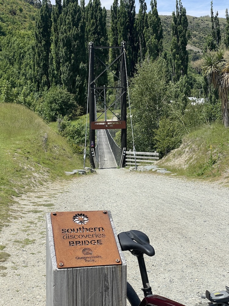
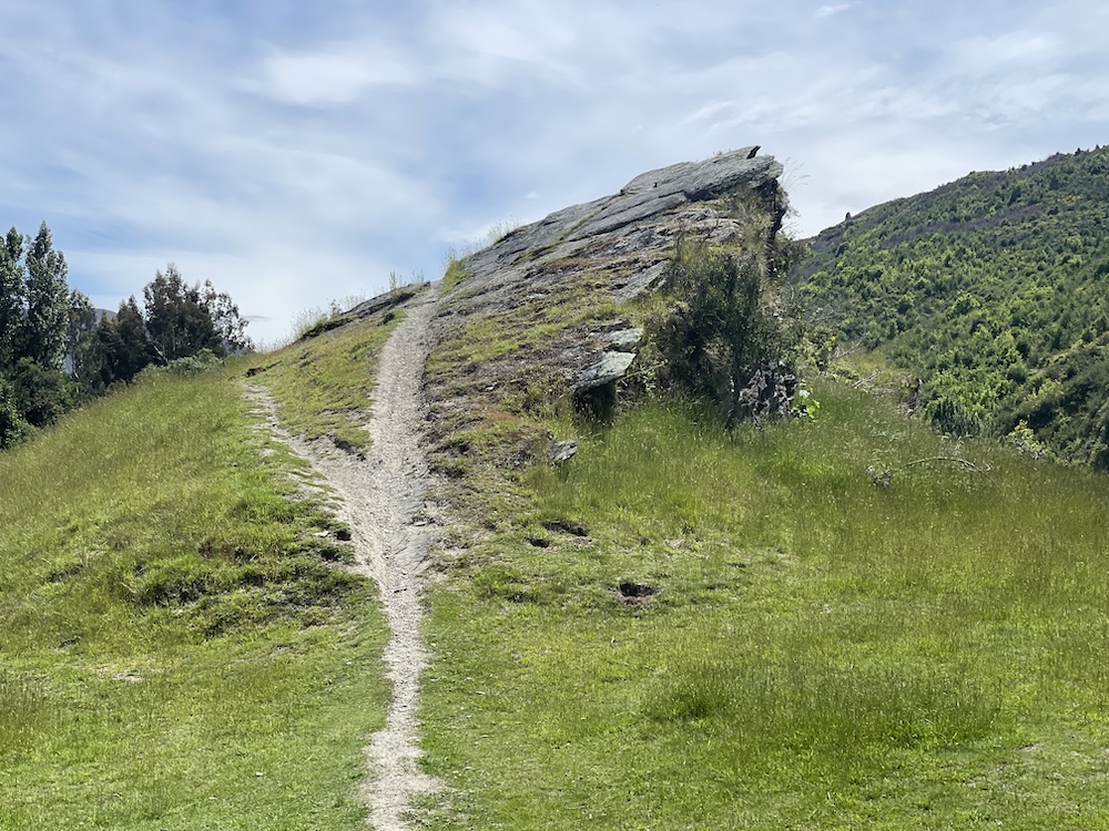
On the way to Arrowtown on section 6 it wasn’t long before I arrived at another scary bridge… This time it was standing between me and lunch so I closed my eyes and… No! I kept them wide open and walked across while still straddling the bike. It wasn’t so bad after all. Immediately after the bridge I caught up with a family taking pictures of a rock. We agreed that it looked like Pride Rock in the Lion King movie… what do you think?
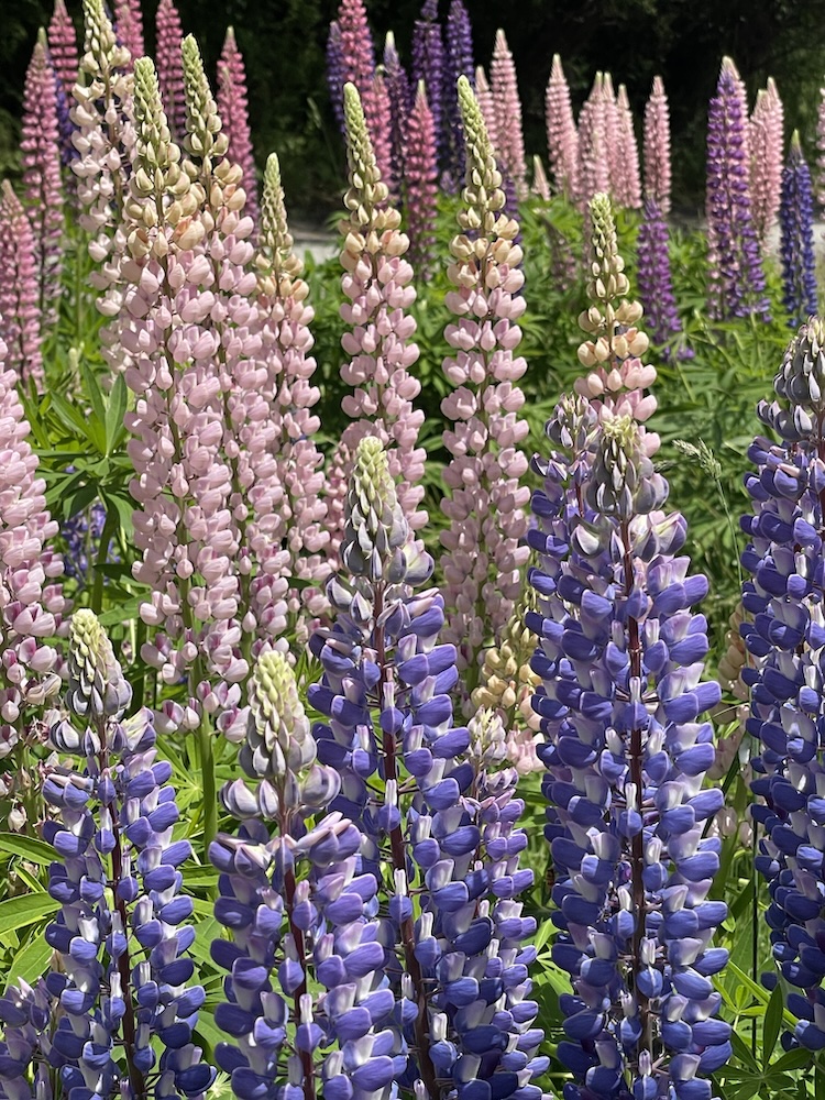
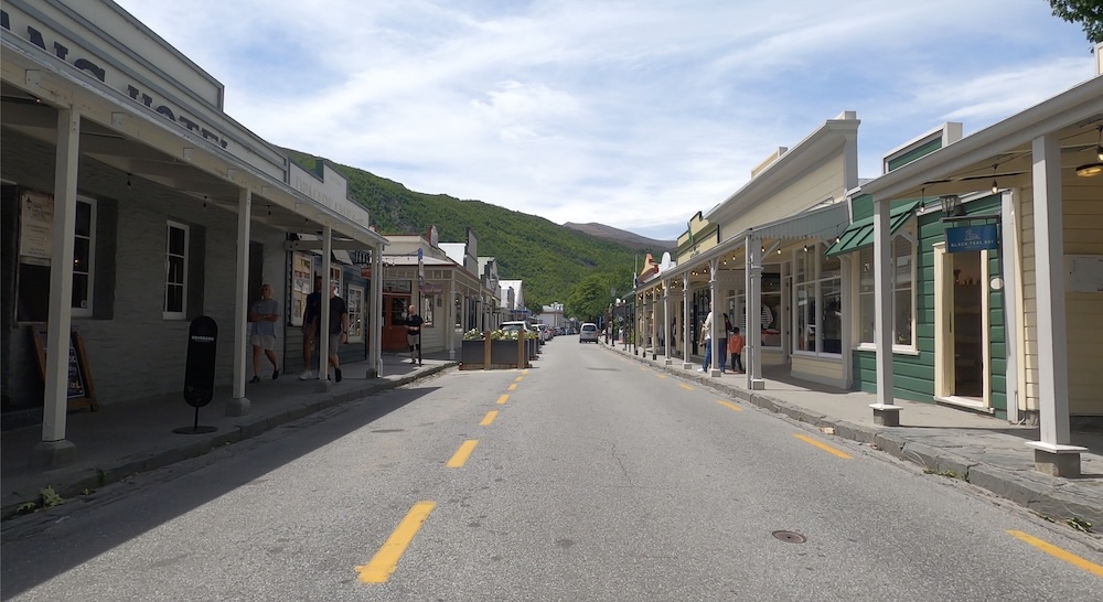
Arrowtown is a quaint town with a history in mining, but now is a tourist town for sure. There are several nice restaurants and ice cream places to indulge yourself, plus a few shops. I caught the main street on GoPro video if you want to see the ride through town.
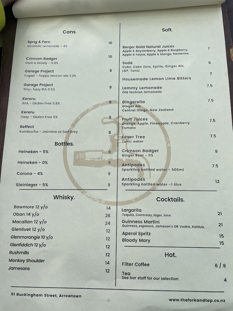
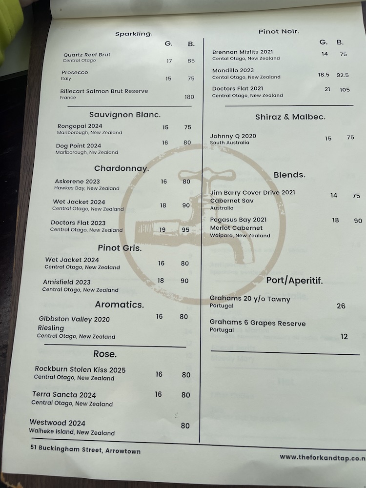
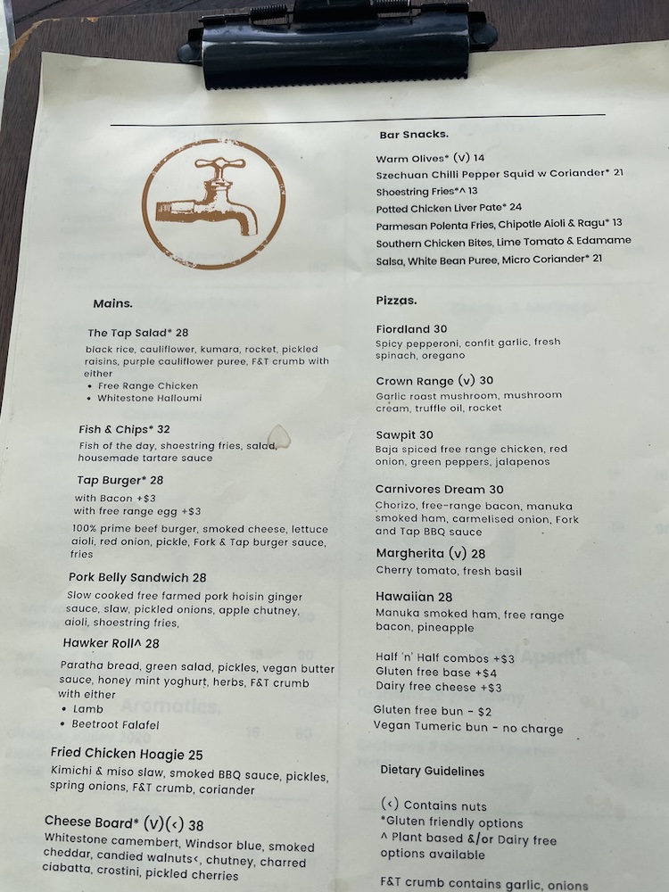
I stopped at the Fork and Tap for lunch, and sat in the garden along with a bunch of other people who had driven out to this town for a day trip. I had the tap burger and it was delicious – plus gave me the fuel I needed to get back to Queenstown. There is an English feel to these pub lunches, I mean other than the mountains that surround the area you could be in the south of England on a summers day.
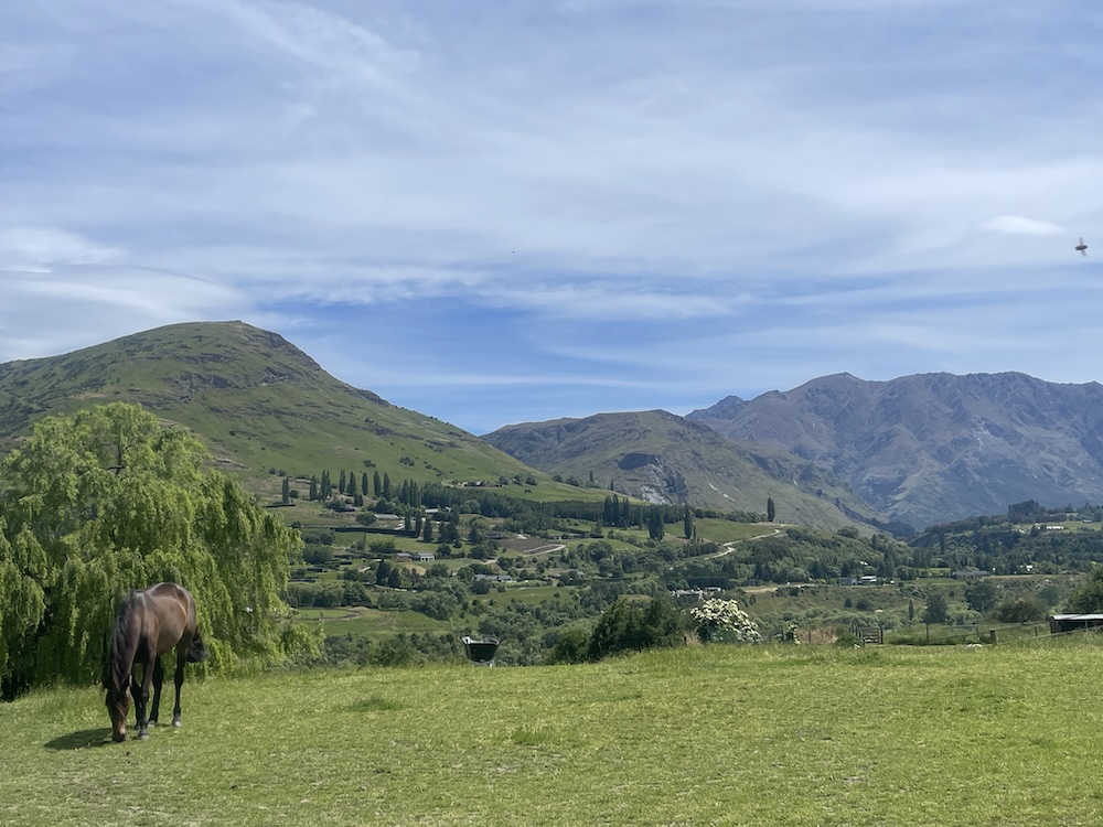
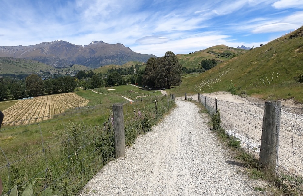
Refueled, I headed back a different way using section 5 called the Countryside trail. You are cycling through some rolling countryside and small hamlets, far from the roads most of the time. The view and the sounds were both beautiful and serene. You can really relax out here on the Countryside trail.
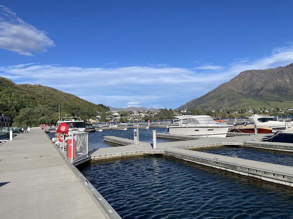
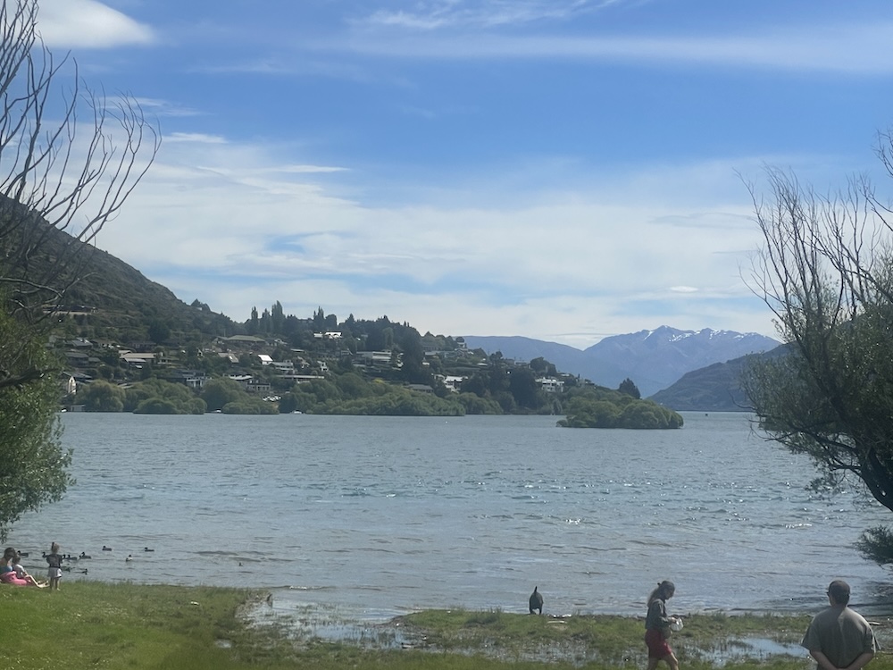
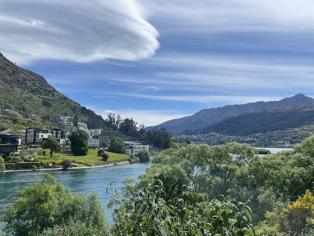
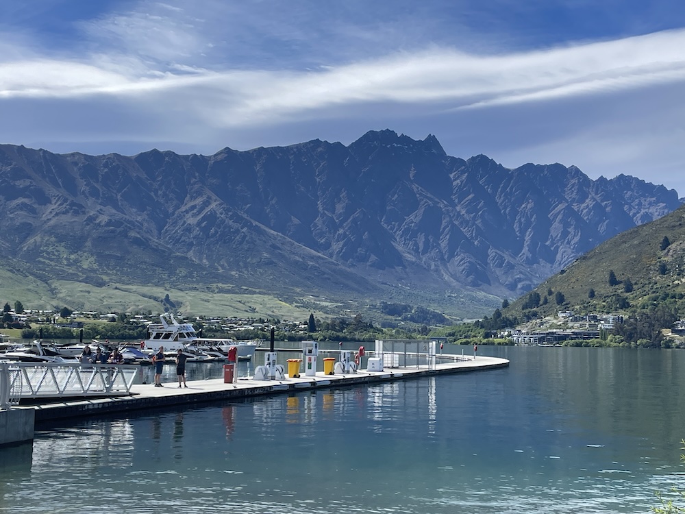
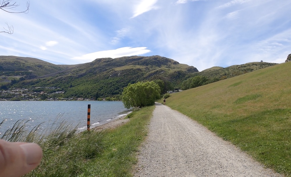
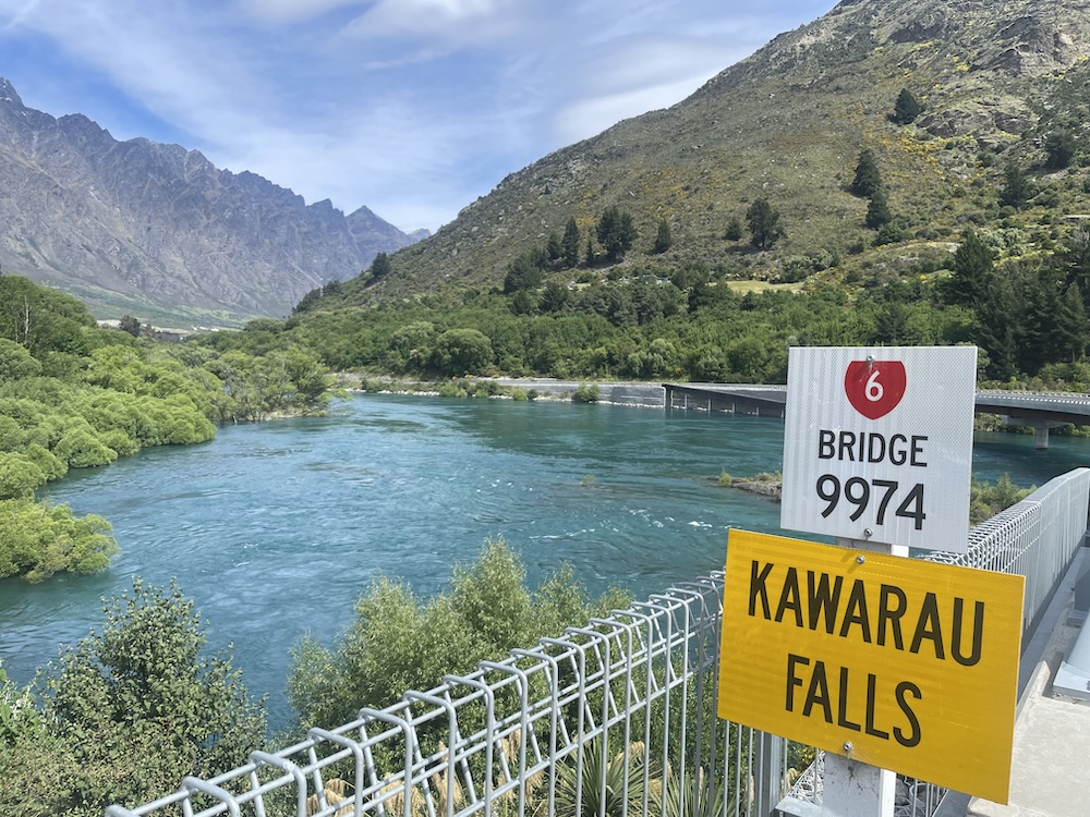
Eventually you reach Lake Wakatipu, where Queenstown is located, crossing one of the inlets where you can walk to Kawarau Falls.
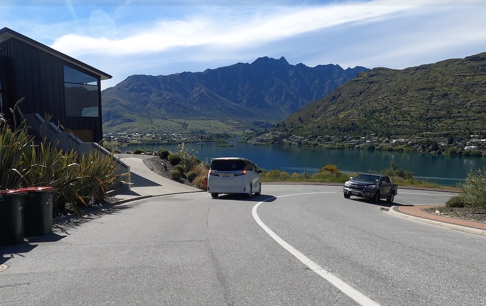
Using the cycle paths on the banks of the lake takes you to the Middleton Rd, and the start of the hill climb up to the apartment. The hill is so steep I didn’t think I would be able to ride the bike up it. Well, I did! but did need to stop one time for a breather about 80% up the hill side. There are parts where the gradient gets to 16% especially in the switchbacks, but mostly it averages out at 9-10%.
With all the ups and downs today, this was a tiring ride even though it was only 35 miles. Tomorrow I will try to have a recovery ride…
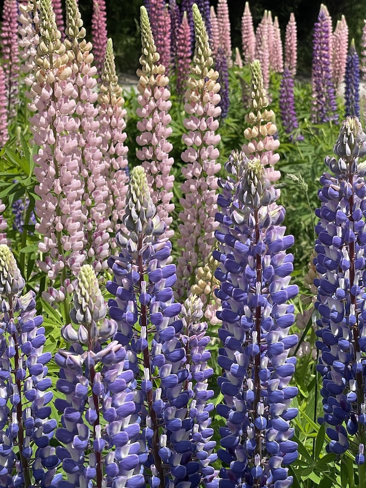
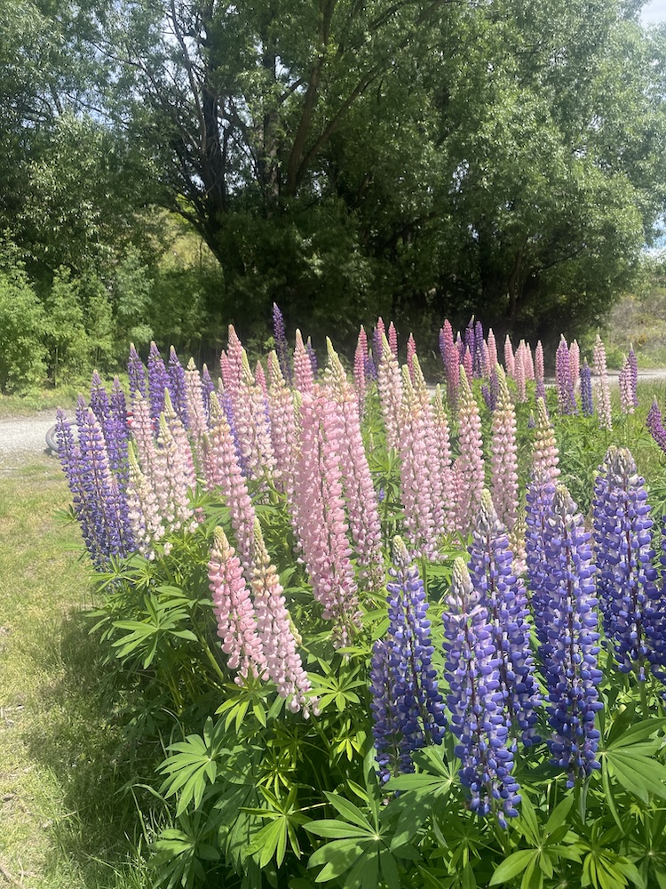
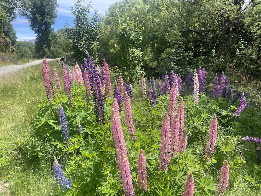
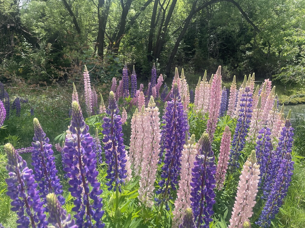
Gallery