

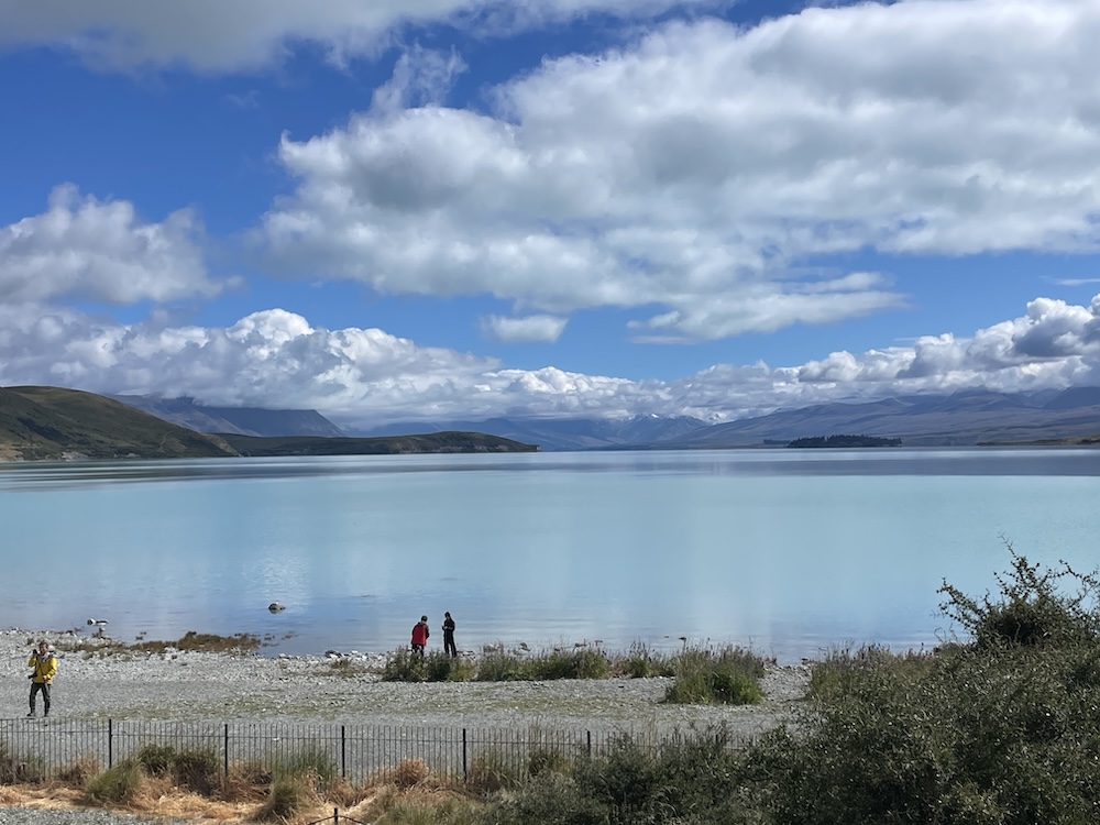
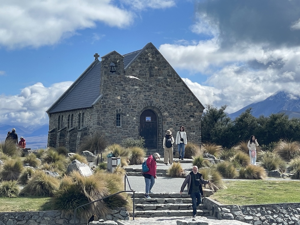
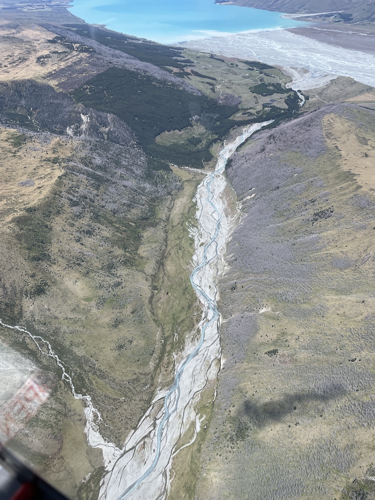
Today is Wednesday 17th December and I started out with a walk around Tekapo to see the few sights here, such as the Church of the Good Shepherd, which was situated right on the bank of Lake Tekapo. An inspiring location facing the mountainous national park, looking out of the turquoise colored lake – the color is from the glacial silt (rock flour) and I have some great photos of this runoff into the lake during the scenic flight later in the blog.
There is a small stone church built on the shore of the lake, facing the mountains in the distance. Quite a location for getting close to God! It is still holding Sunday services and although it encourages pictures of the exterior, taking pictures inside is not allowed.
Tekapo is a small town with the main street running parallel to the southern end of the lake. There are a few tourist souvenir shops, a few low to mid range restaurants and one grocery store. Since there wasn’t a lot of choice in places to eat they become overly busy at meal times, and at the better ones you should make a reservation.
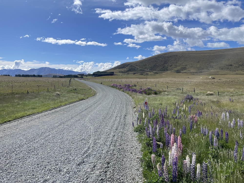
This area is part of the Aoroki Mackenzie International Dark Sky Reserve – which boasts incredible stargazing on nights where the clouds and weather permit. The town is 2,300 ft (710 m) above sea level and is popular with hikers and photographers. There are some gravel trails for bikes but its not to the level of the trails in the Queenstown area of Otago region. When you have ridden the best… well you know the rest! The gravel I rode in the Tekapo area required on-road riding to access them, then once on the trail you quickly realize its really a road and other cars, vans, and trucks travel it occasionally.
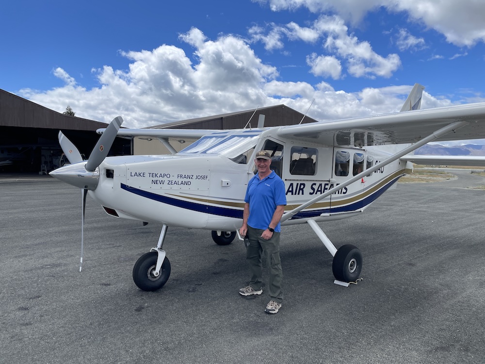
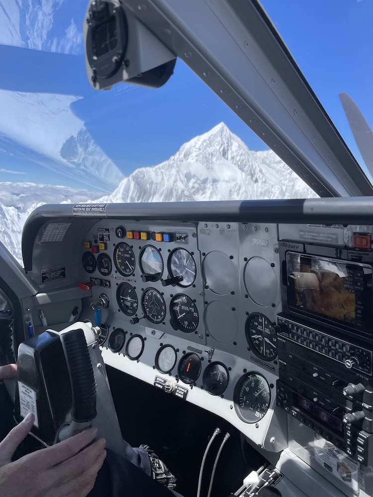
I had reserved a scenic flight from Tekapo airport to fly over the national park and view the mountain peaks and glaciers up close. The airport is uncontrolled (no tower) and has a single runway and a family run company called Air Safaris https://airsafaris.co.nz/ operates a small fleet of aircraft from this base of operations. When it was time to board the aircraft our pilot Matthew agreed to let me sit in the copilot seat, so I had an awesome view out the front and side windows. We had a total of 6 passengers on this trip, apparently they only fly if they can get at least 4 people per flight.
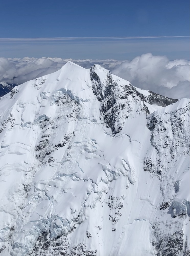
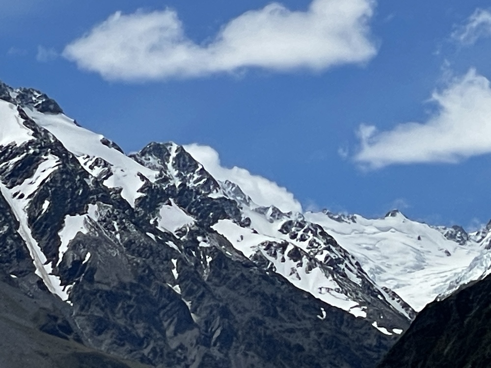
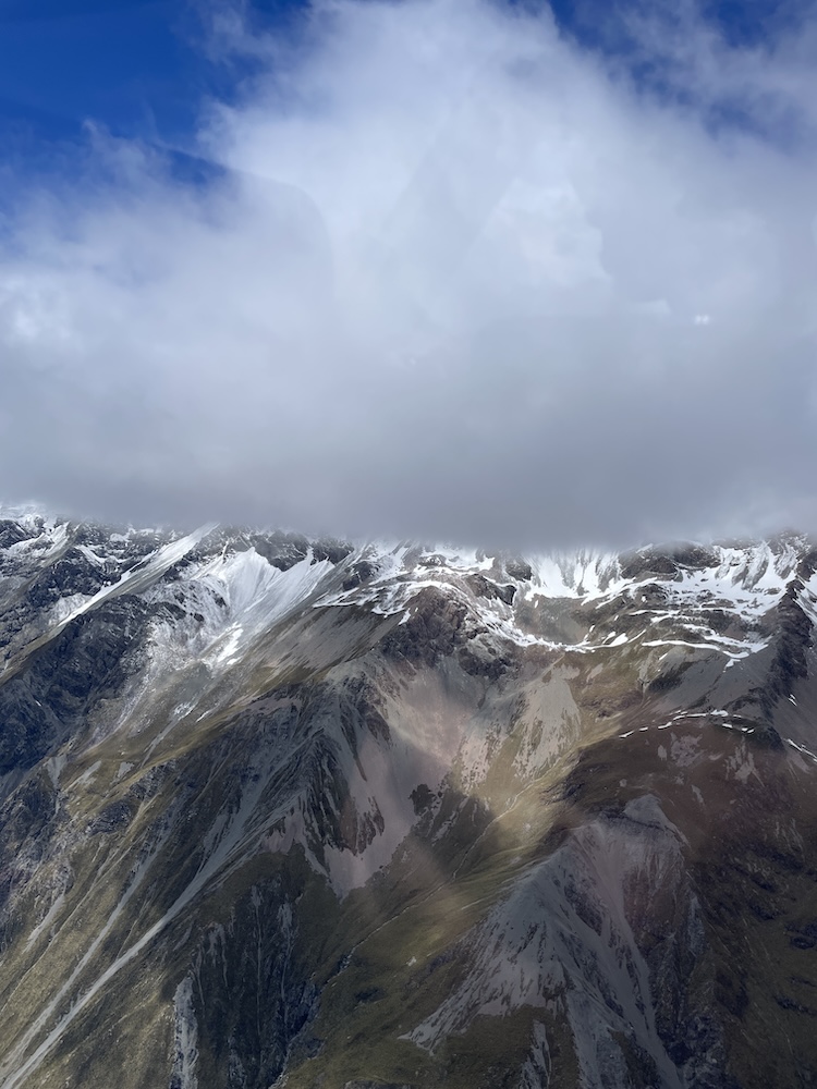
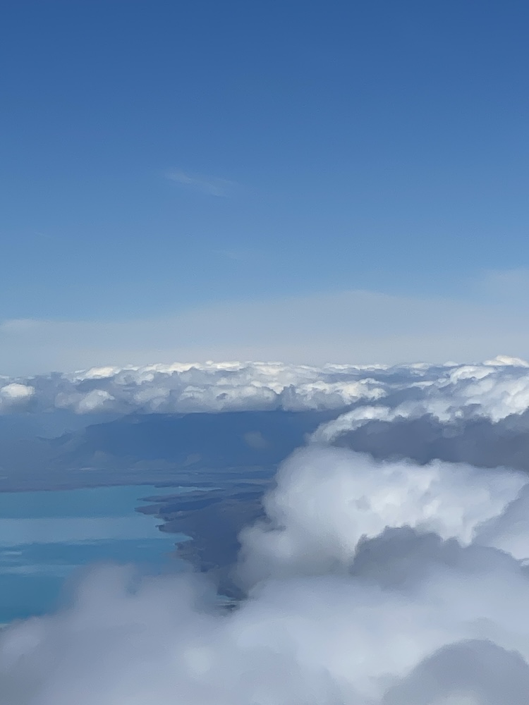
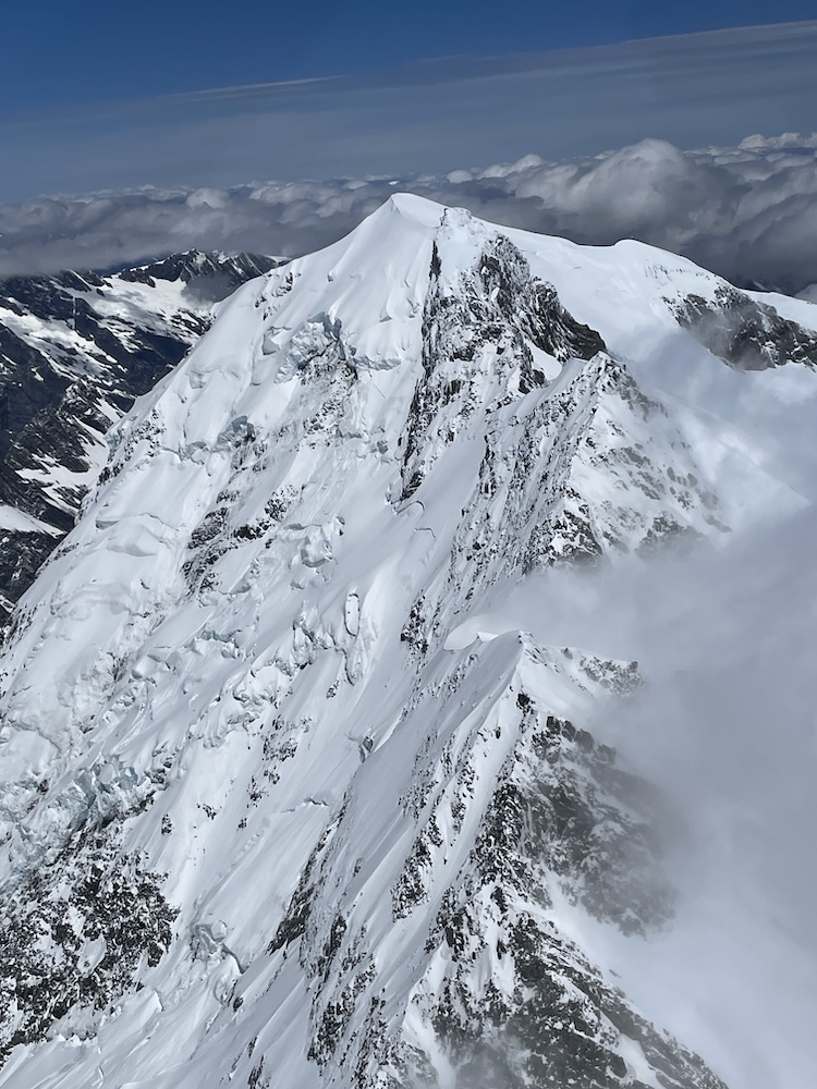
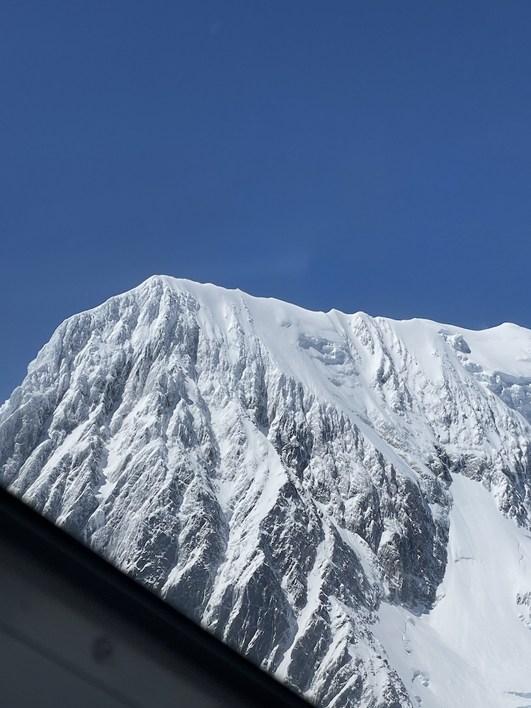
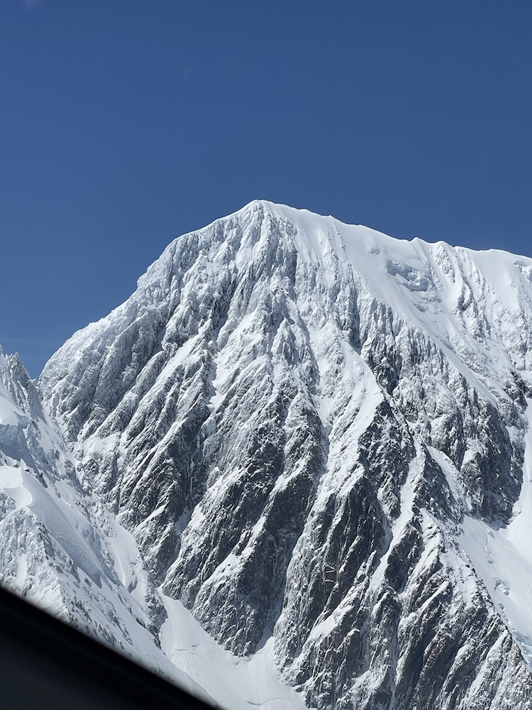
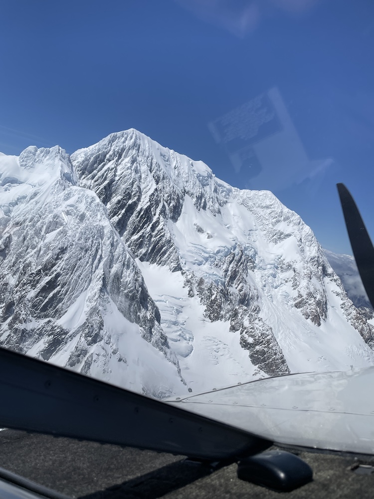
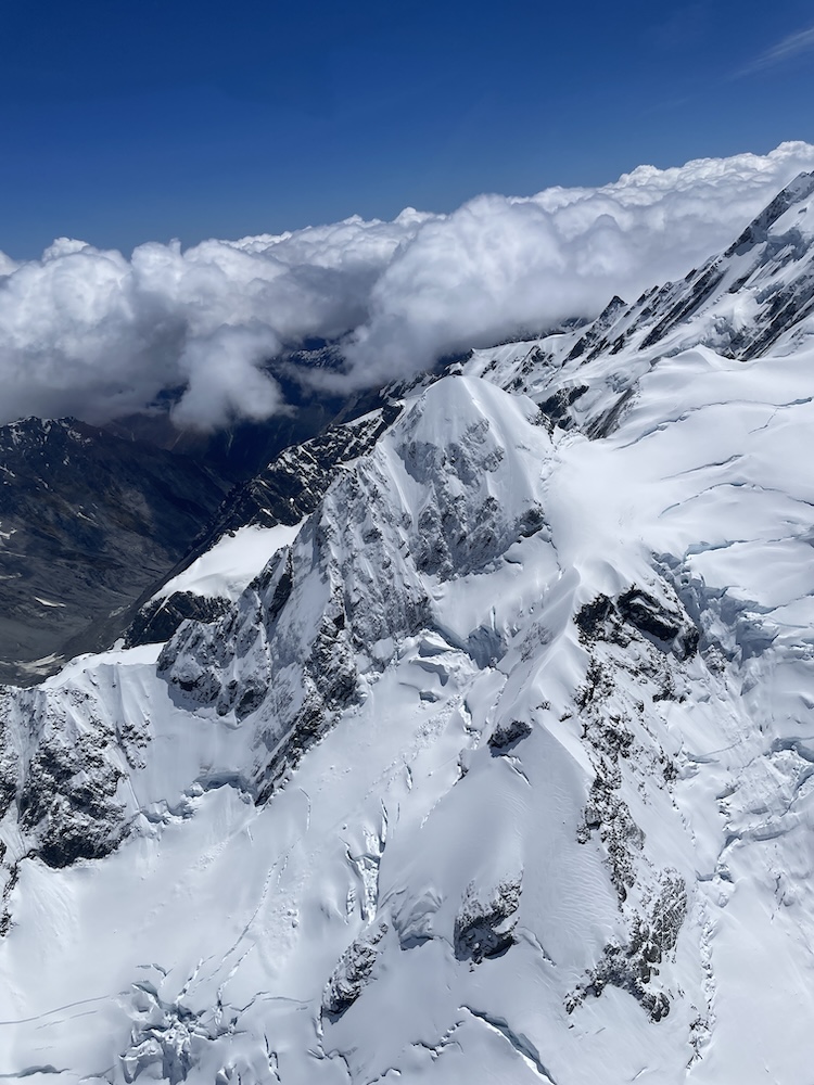
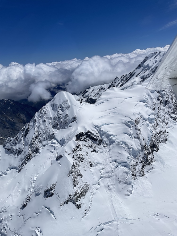
With everyone strapped in and doors closed, it wasn’t long before we were clawing our way into the sky, climbing gradually out over Lake Tekapo heading straight toward the towering peaks of the Aoroak/Mt Cook national park. The scenery in the early part of the flight was awesome and as the flight progressed west the view just kept getting more amazing. There were some low clouds in the area and Matthew was picking his track through the mountains carefully, as some of the peaks were enshrouded in cloud.
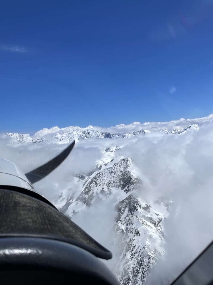
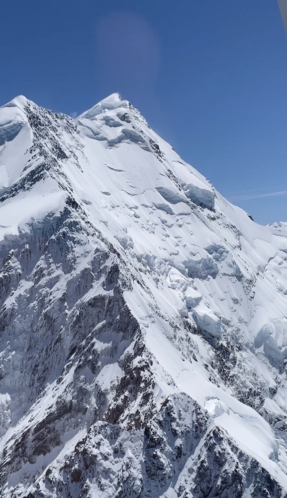
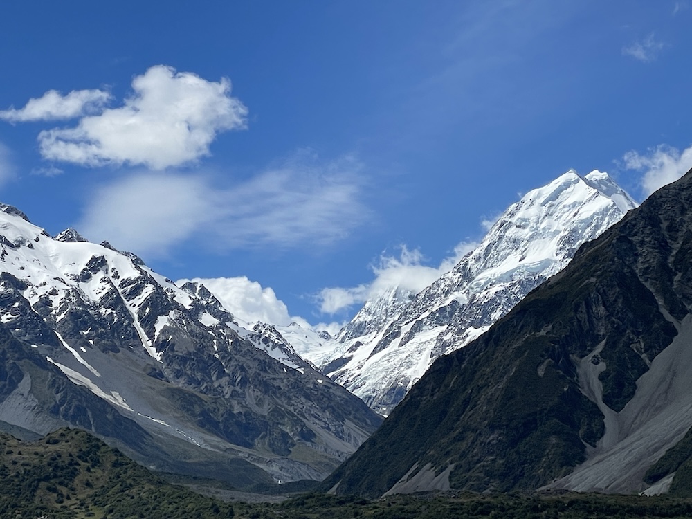
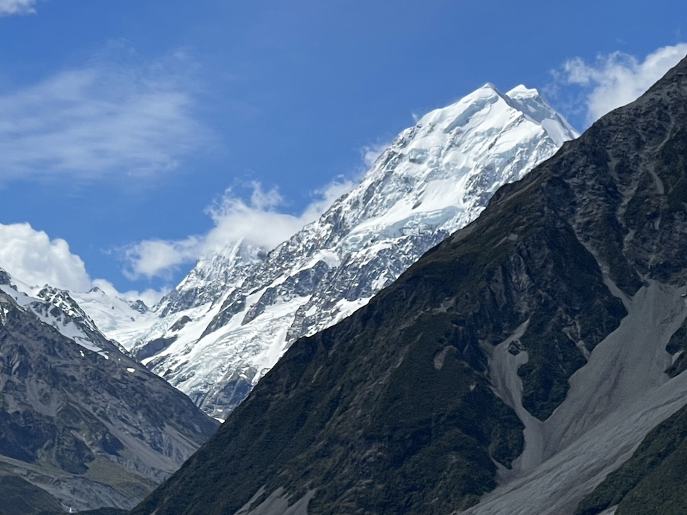
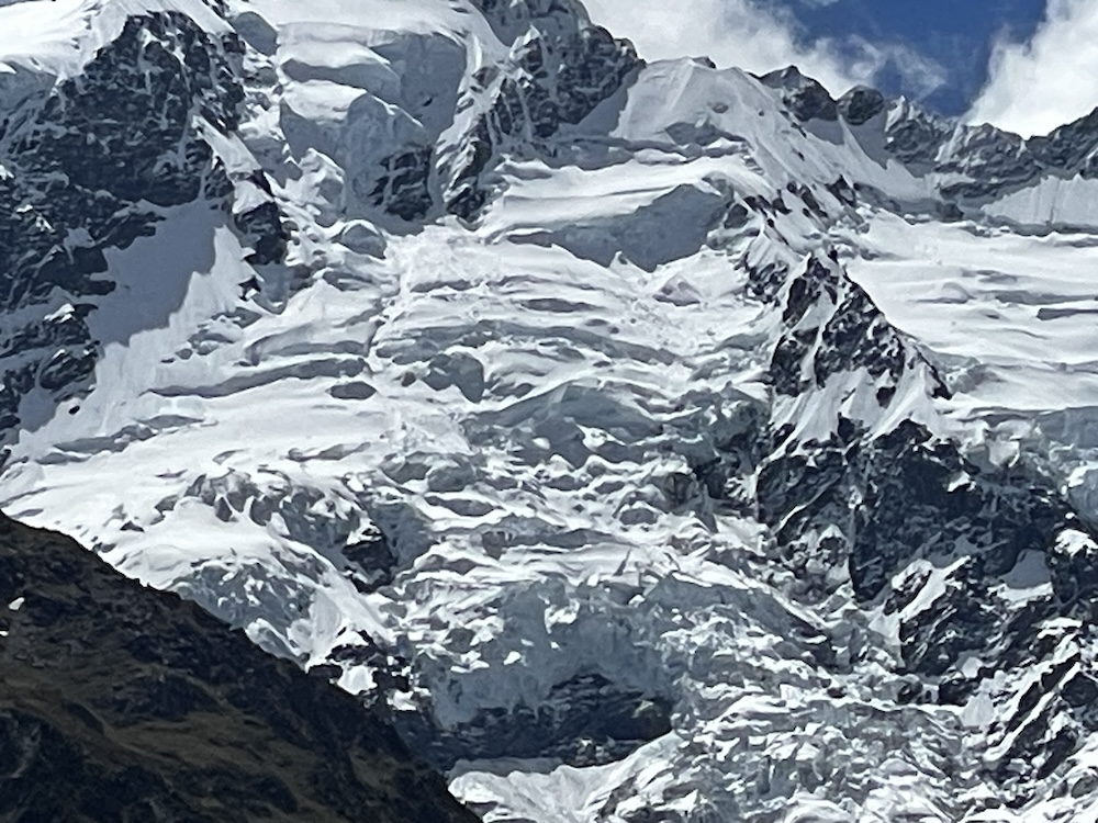
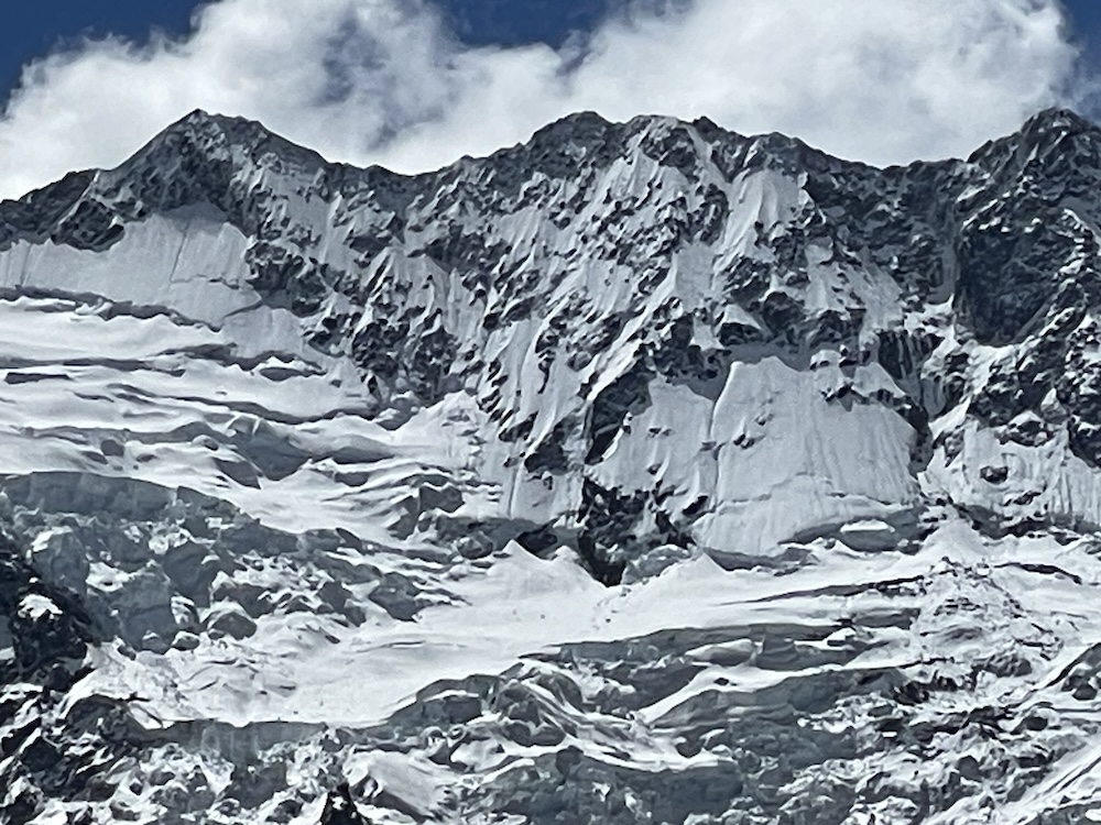
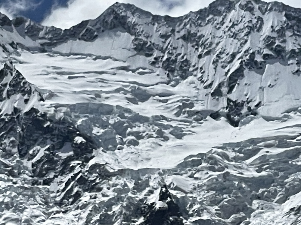
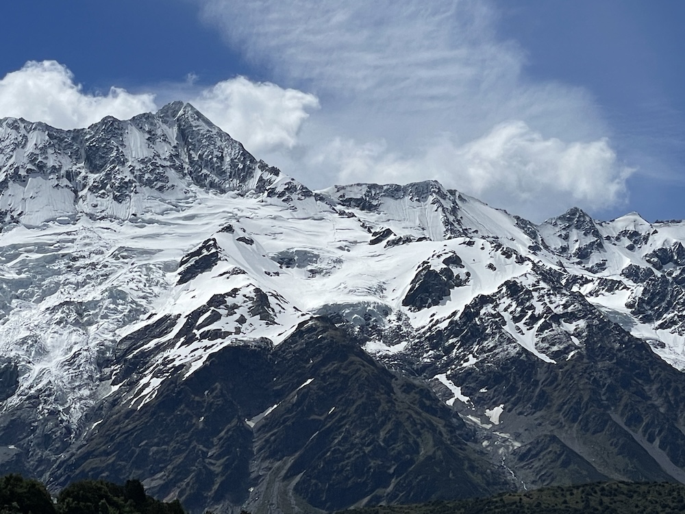
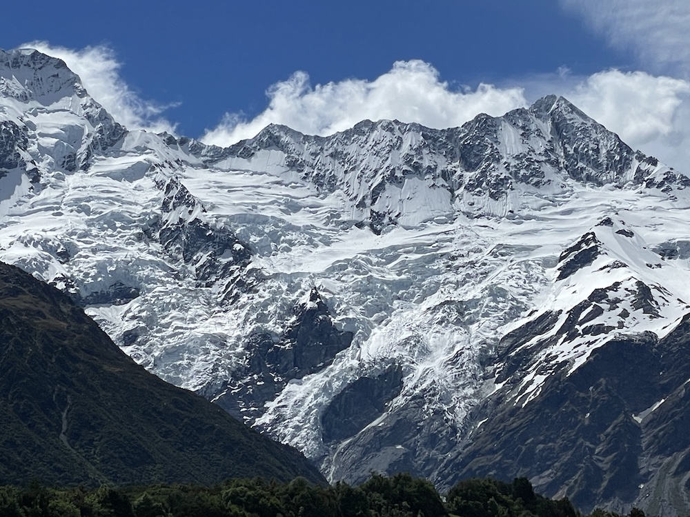
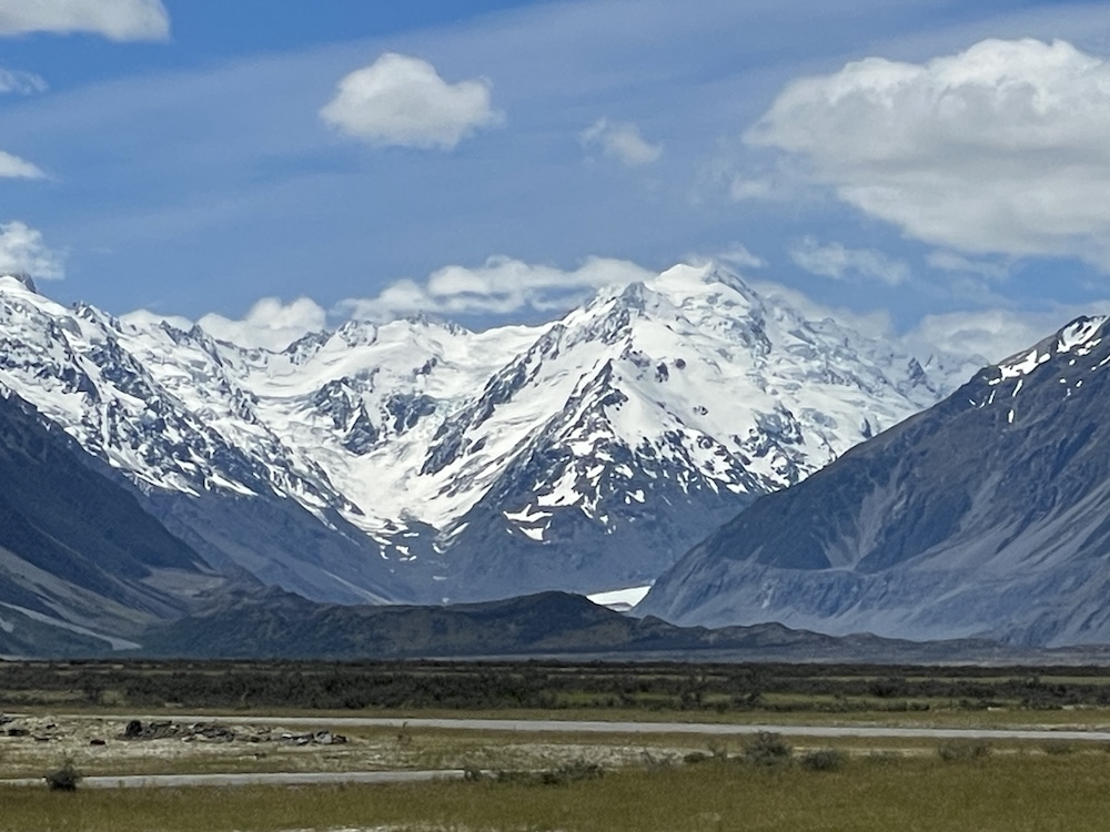
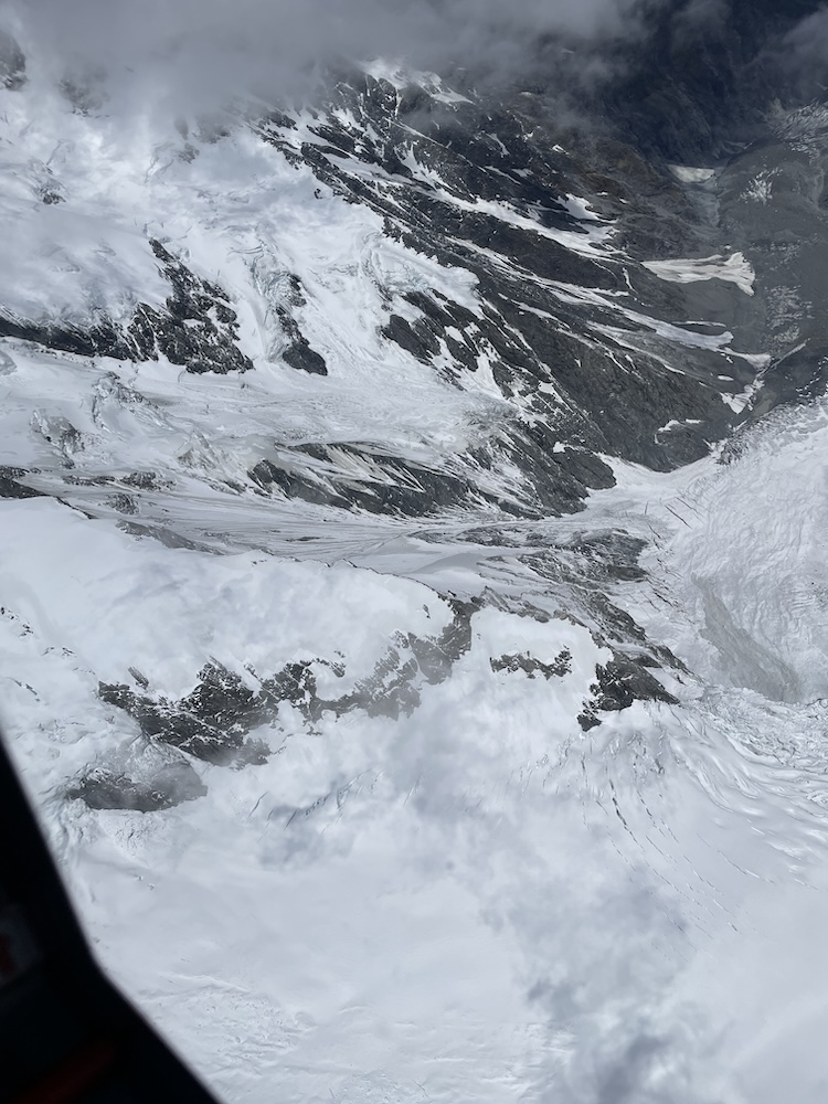
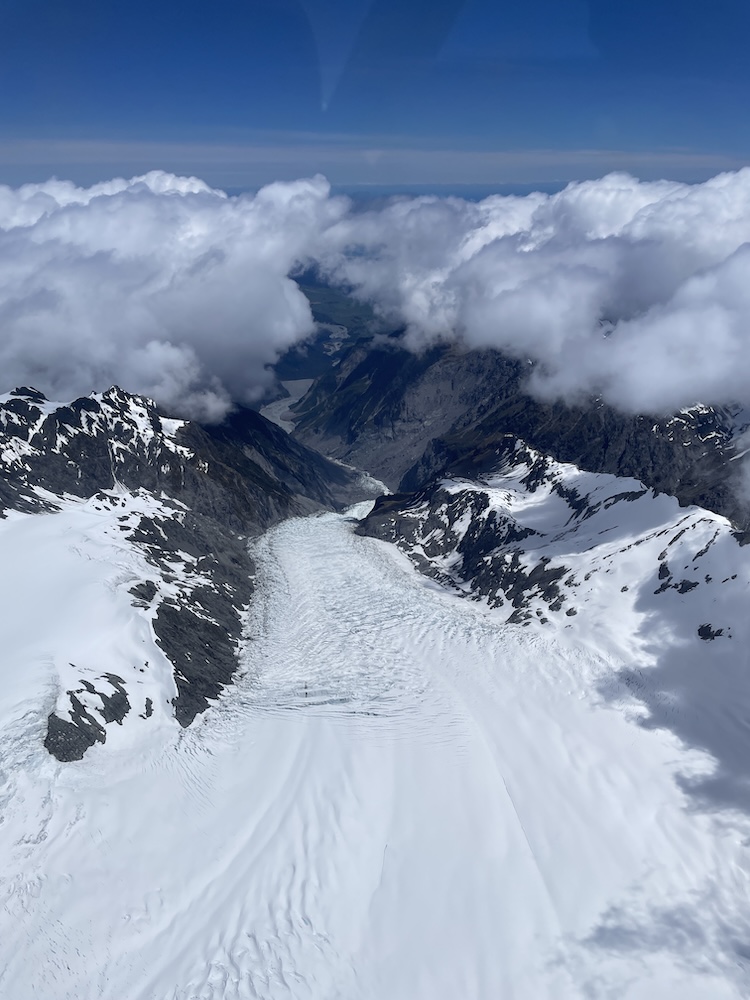
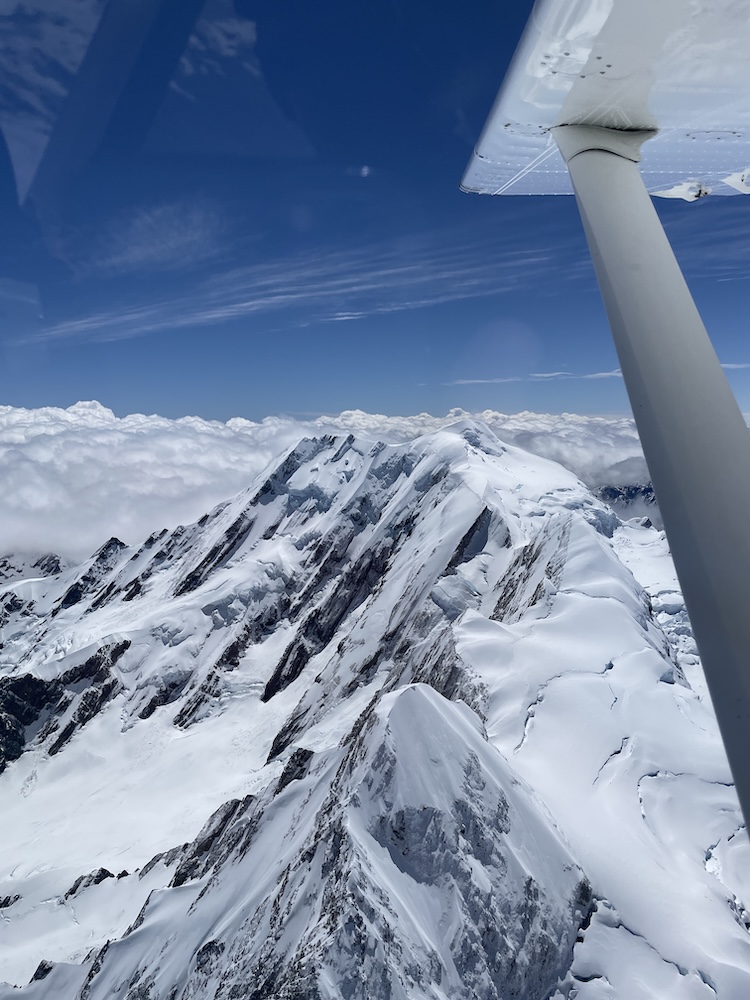
The magnitude and raw beauty of this area just cannot be fully communicated through photos and video clips. At one point we were at 10,500 ft flying close to the mountains, and it appeared as if you could almost reach out and touch the rock – but in reality we were probably 1/4 mile away from the mountain – it’s so massive it distorts our ability to judge distance.
Then there are the glaciers… thick ice sheets originating close to the peak of these mountains and stretching 13 KM down the mountain – at points the glacial ice is said to be over 2,000 ft (600 m) thick! Matthew also mentioned that some of these glaciers move upto 2-3 meters per day in the heat of summer.
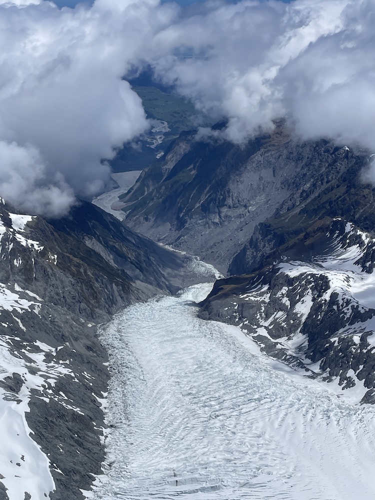
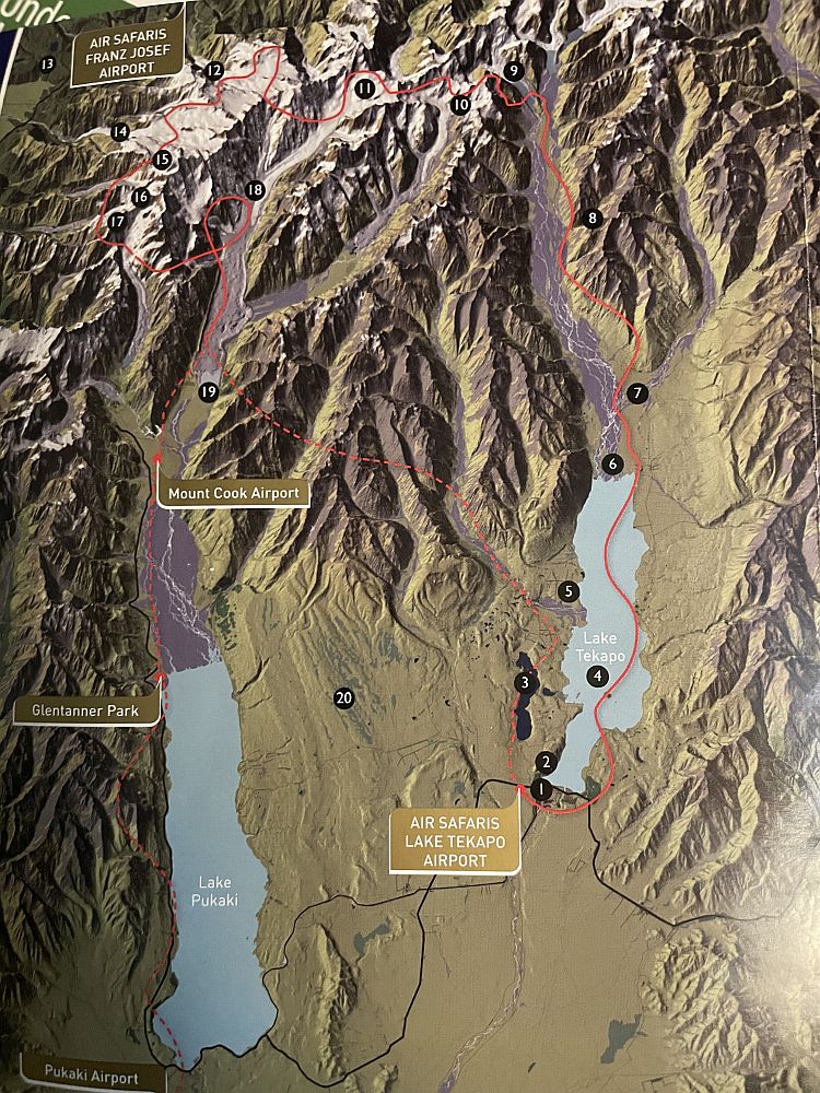
Referring to the flight map below, the major points of interest are; (9) Godley Glaciers, (10) Murchison Glacier 16 KM long NZ 2nd largest glacier, (11) Tasman Glacier 29 KM long NZ largest glacier, (12) Franz-Josef Glacier, (14) Fox Glacier, (15) Mt Tasman 11,475 ft (3,497 m), (16) Mt Cook 12,218 ft (3,724 m), (17) Mt La Perouse 10,100 ft (3,078 m), (18) Lower end of Tasman Glacier.
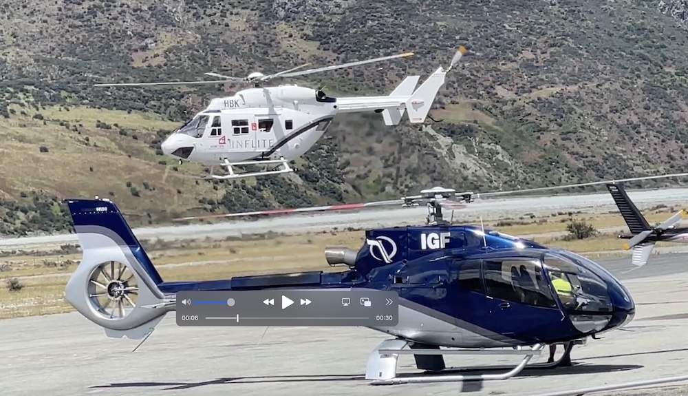
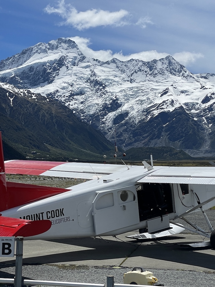
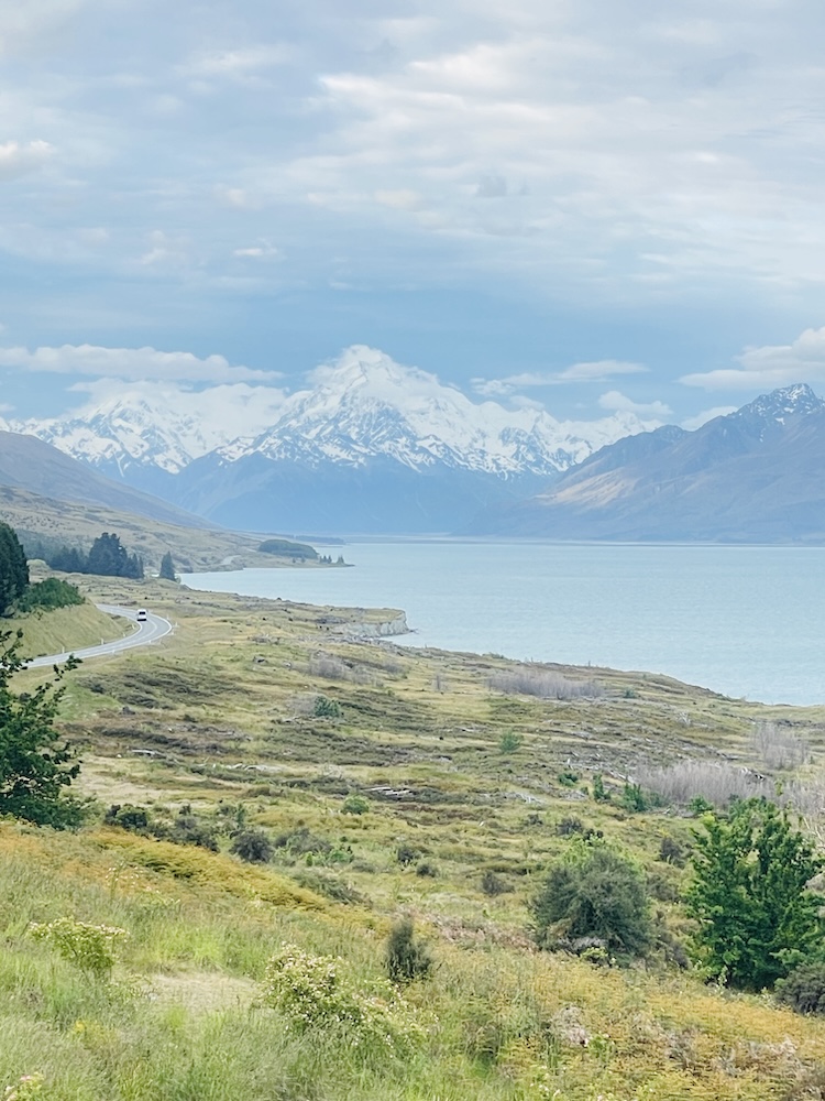
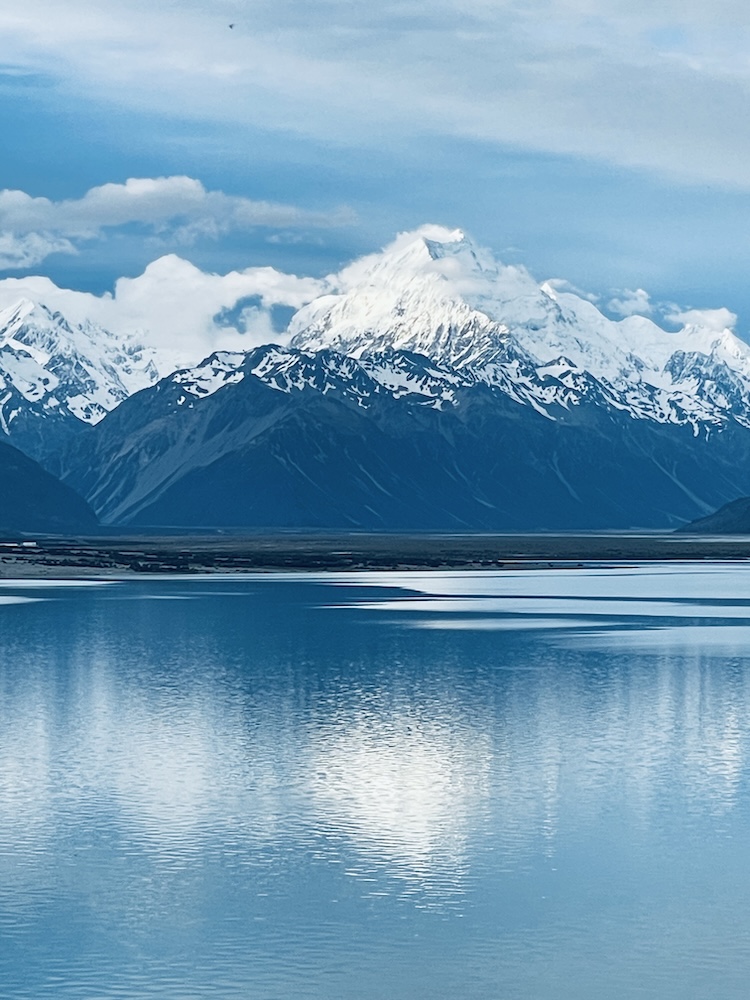
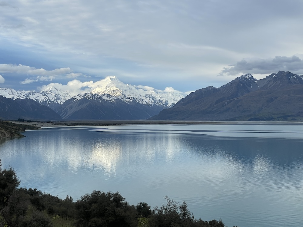
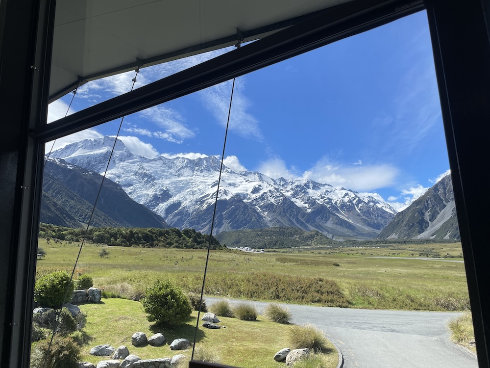
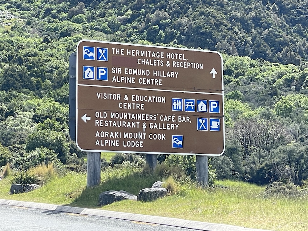
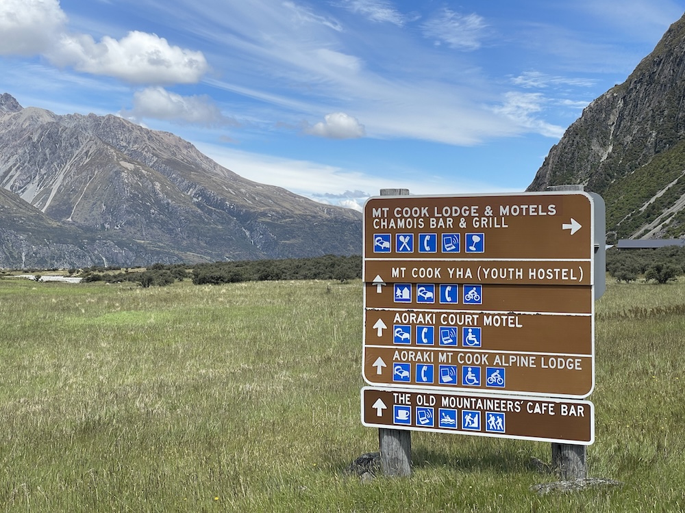
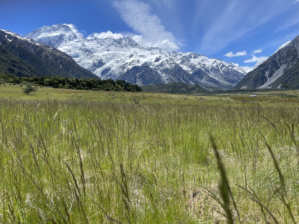
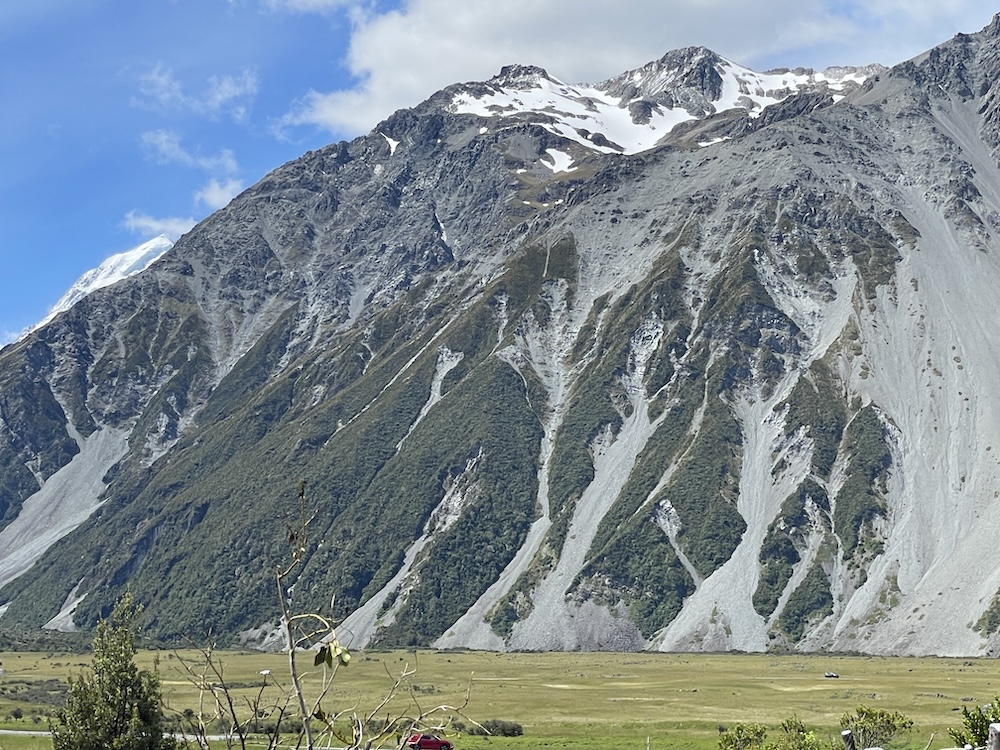
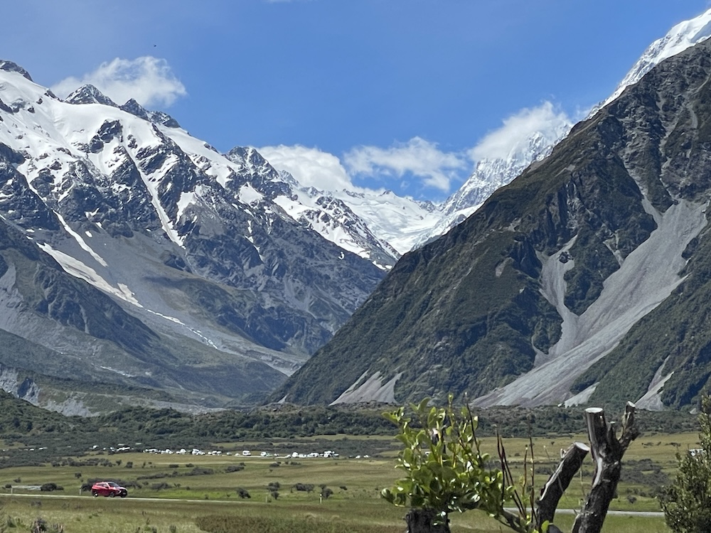
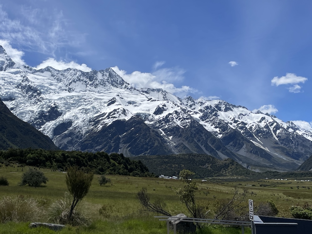
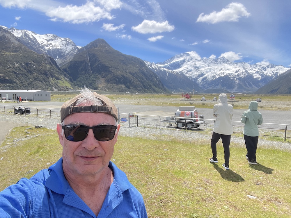
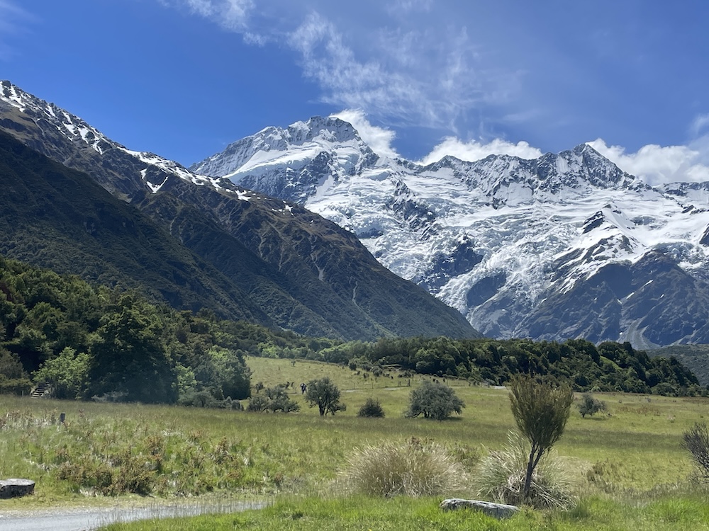
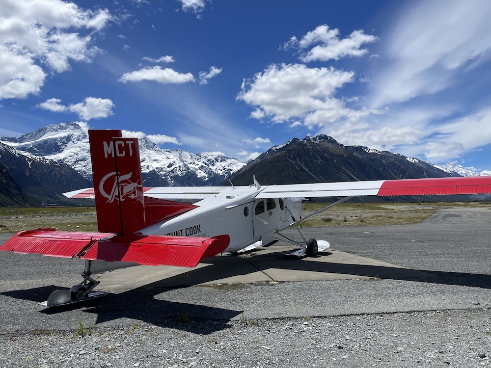
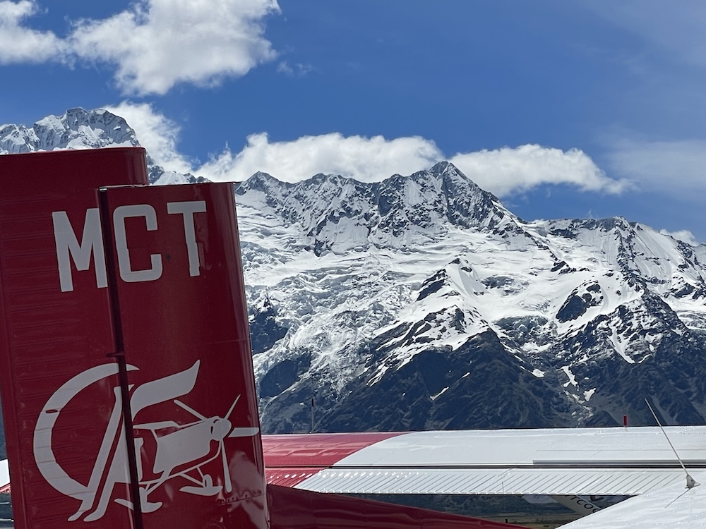
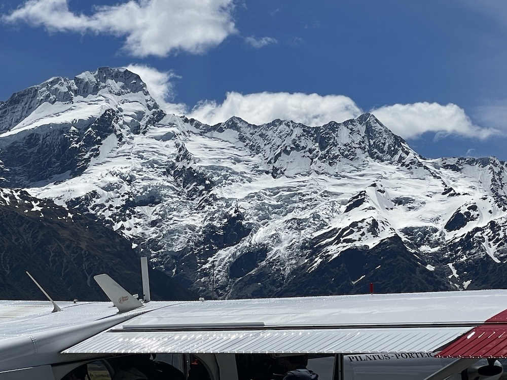
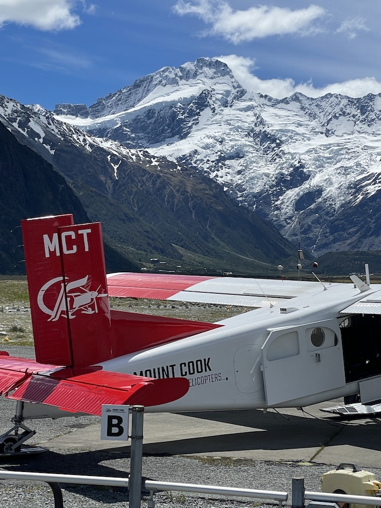
After the 1 hour scenic flight, I wanted to drive to some of the other locations I spotted on the flight. Mt Cook airport and Mt Cook village. These are reached via route 80 that hugs the western edge of Lake Pukaki for the early part of the route. First I stopped at the airport, another base of operation for several scenic flight companies, most flying helicopters and one flying a Pilatus aircraft that can land on the snow/ice. Check on the links to the videos too (download them first if the playback is choppy).
Gallery
Video Links
- IMG_5735-Helicopter.MOV
- IMG_5750-FlightLake.MOV
- IMG_5753-FlightLake.MOV
- IMG_5754-Flight.MOV
- IMG_5755-Flight.MOV
- IMG_5759-Flight.MOV
- IMG_5763-Flight.MOV
- IMG_5771-Flight.MOV
- IMG_5772-Flight.MOV
- IMG_5776-Flight.MOV
- IMG_5777-Flight.MOV
- IMG_5778-Flight.MOV
- IMG_5789-Flight.MOV
- IMG_5792-Flight.MOV
- IMG_5795-Flight.MOV
- IMG_5797-Flight.MOV
- IMG_5805-Helicopter.MOV
- IMG_5813-Pilatus.MOV